|
Grand Staircase: Grand Canyon
- Day 5 and 6 (click once on any photo to display full image) |
North Rim of
We only allocated 2 days for the
Grand Canyon because the road that led to the remote section of the park was
supposed to be closed during the time that we were going to be there, so we
thought we would spend the first day doing a couple of short hikes near the
visitor center and then hike into the canyon on the second day. However, when
we went to the visitor center at the end of the first day we found out that the
road was open, so we managed to drive to the remote section of the park and
squeeze in another hike after our canyon hike the next day. That turned out to
be a lot of hiking for one day, but it was worth it because otherwise we would
have missed that section of the park which ended up having the best views. We
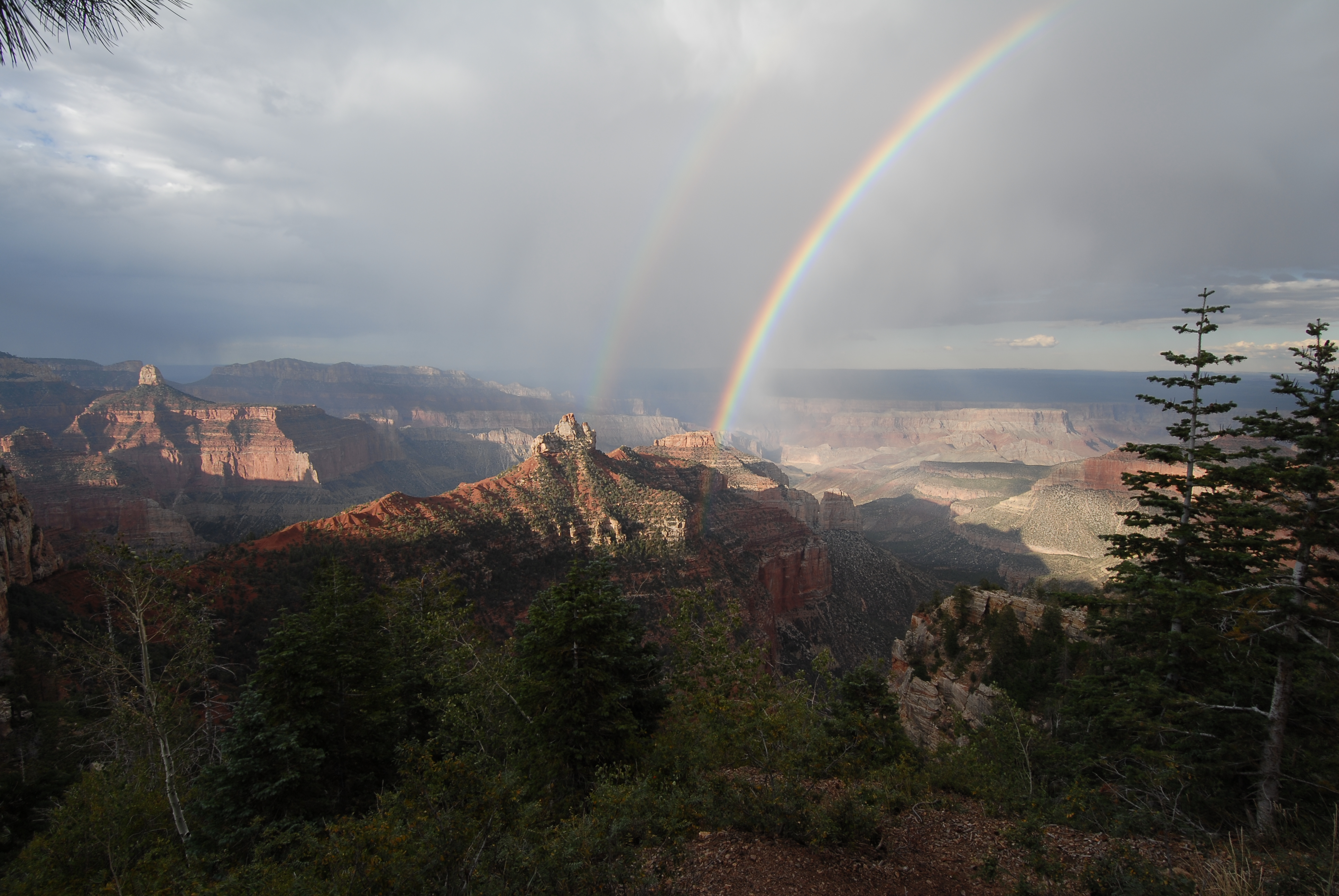
even saw a rainbow at one of the canyon overlooks when it started to rain at
the end of the day. All of the hikes were good, but the one we did into the
canyon from the south rim 20 years ago was better than this one from the north
rim because we were able to reach the bottom of the canyon from the south rim
trail whereas the north rim trail is too long to go all the way to the bottom
and back up in one day. Also the top portion of the north rim trail was not
enjoyable because it was covered with mule droppings so it was impossible to
step around all of it and then on our way back up we had to keep stopping and
stepping aside to let the mule trains pass. There were about 4 of them with a
lot of mules in each train which was really annoying because it took a while
for them to pass and most of the trail wasn't that wide so we had to find a
place to step aside in advance and then wait. I didn't think it was appropriate
to allow mules on the trail for tourist purposes because some of the riders
were inexperienced and couldn't control their mules, and it didn't seem fair
for the mule riders to basically rule the trail and ruin it for the hikers. At
the very least the number of mule trains allowed should be limited to a
reasonable number. There were mules that used the south rim trial too but it
wasn't nearly as annoying because there weren't as many at that time.
Mo compares a drawing of The Grand
Staircase to the real thing at LeFevre Overlook
(south of Fredonia) on our way to Grand Canyon. This overlook offers the best
view of the Grand Staircase-Escalante National
Monument.
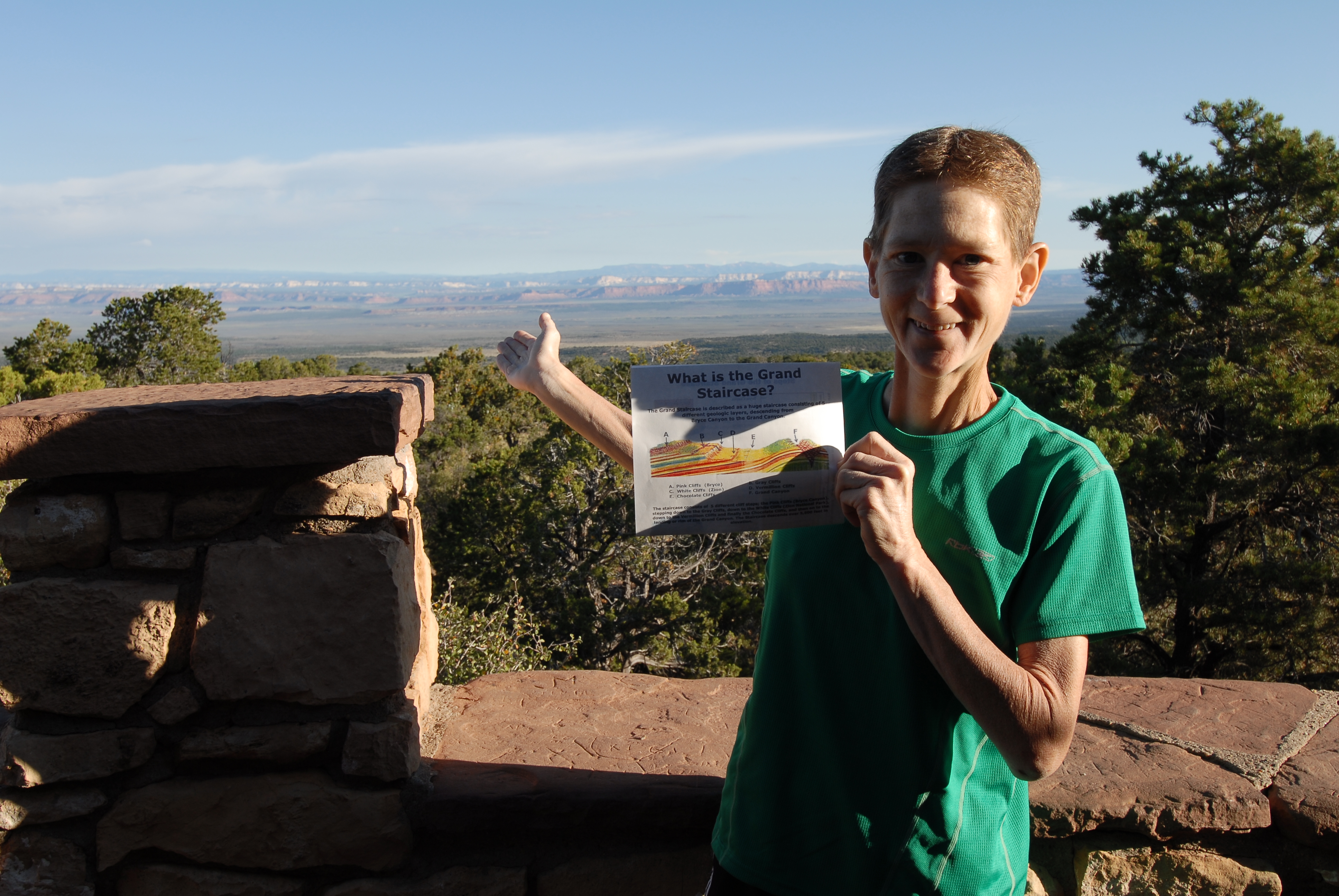
The Grand Staircase is a massive geologic phenomenon that
defines millions of acres of landscape in southern
Views along Widforss
Point Trail near the Grand Canyon's north rim visitor center. The deep and
sheer-walled ravine in the photo on the right is known as The Transept.
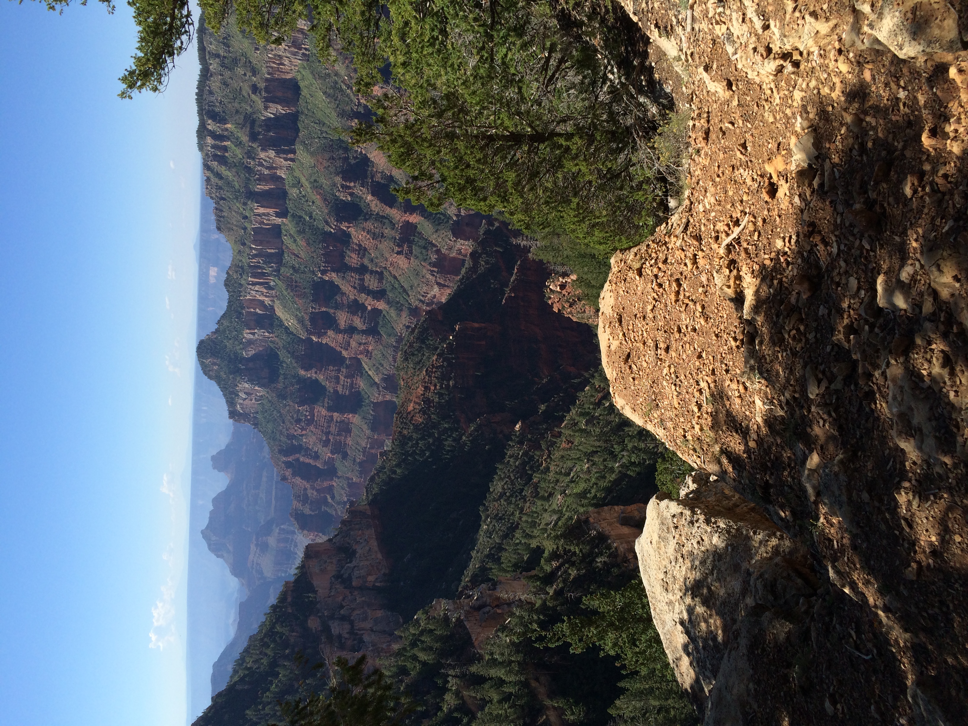
Panoramic view of the Grand
Canyon from Widforss Point at the end of the trail.
Views from Bright Angel Point
near the Grand Canyon Lodge.
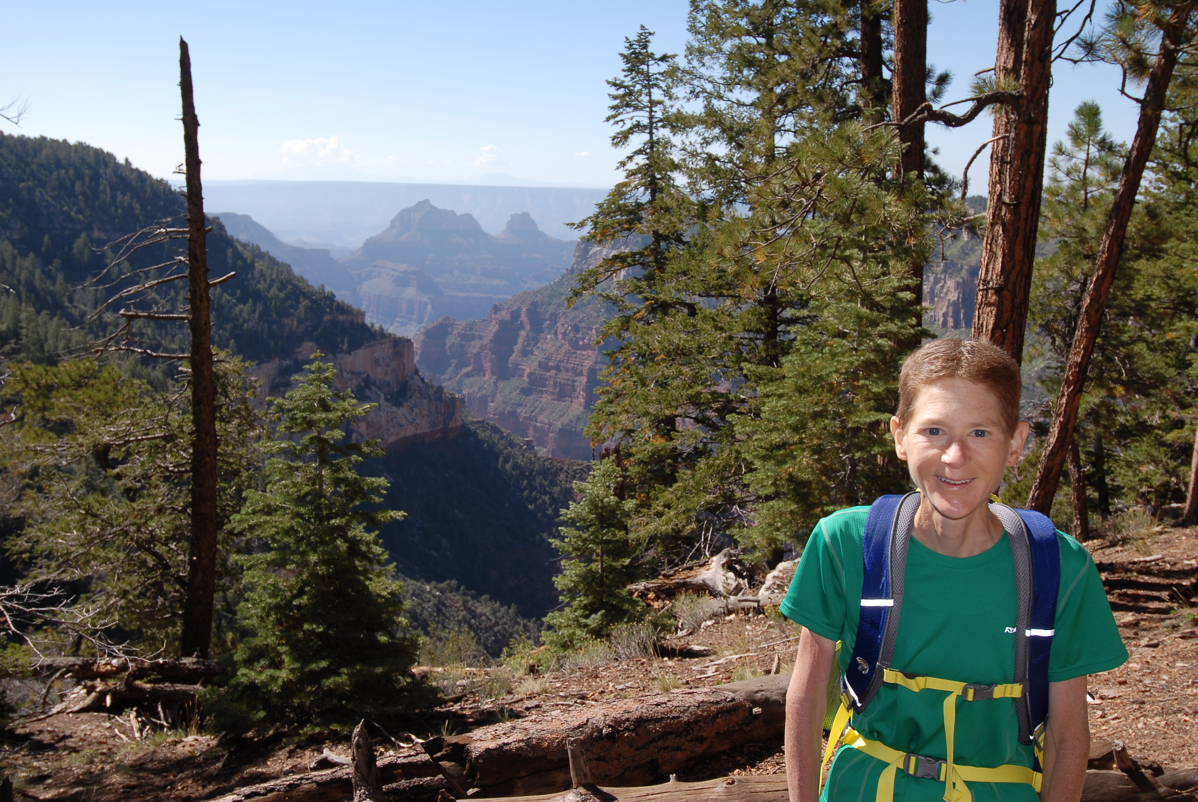
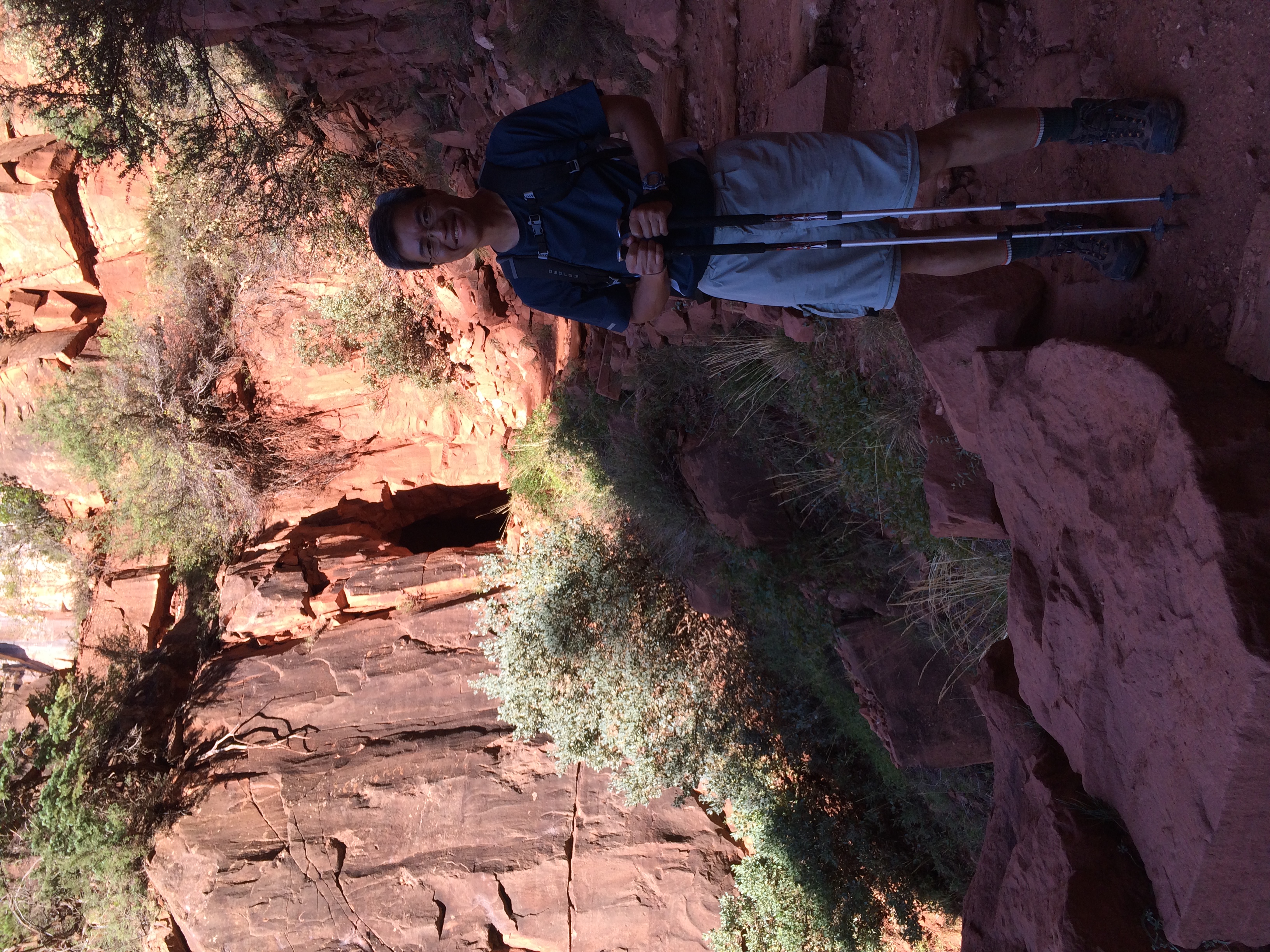
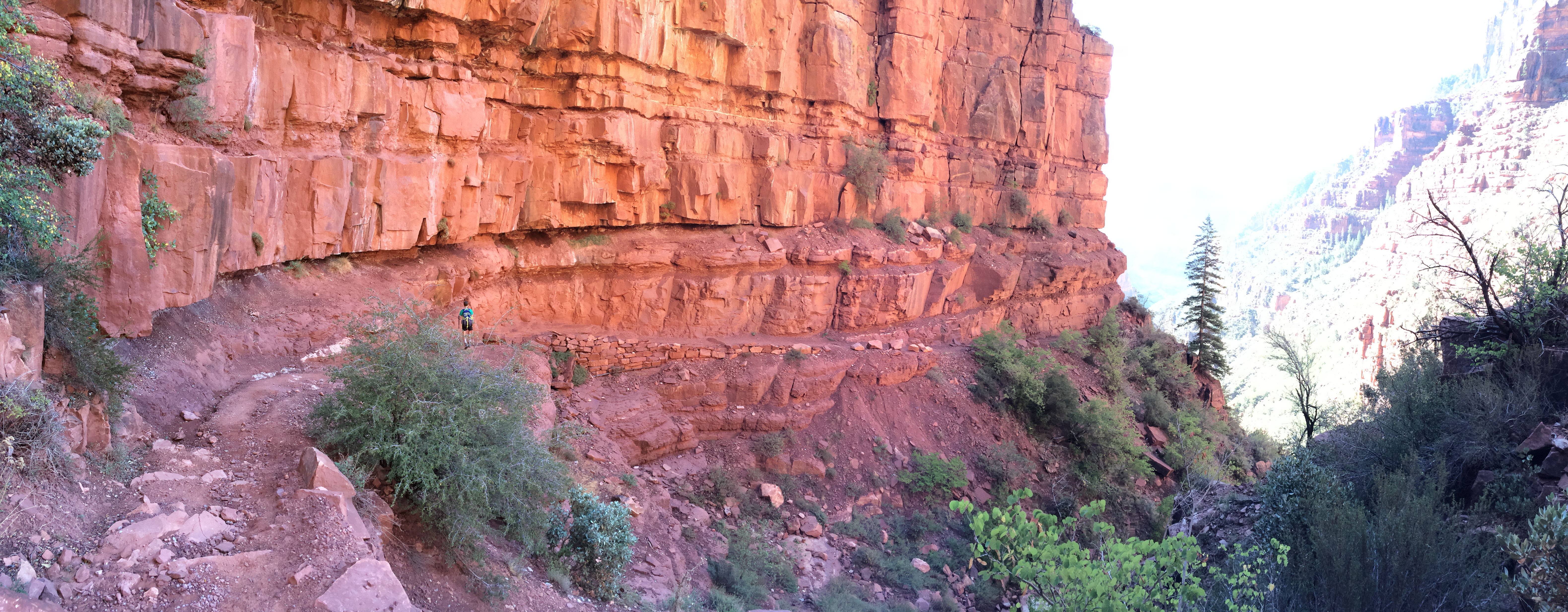
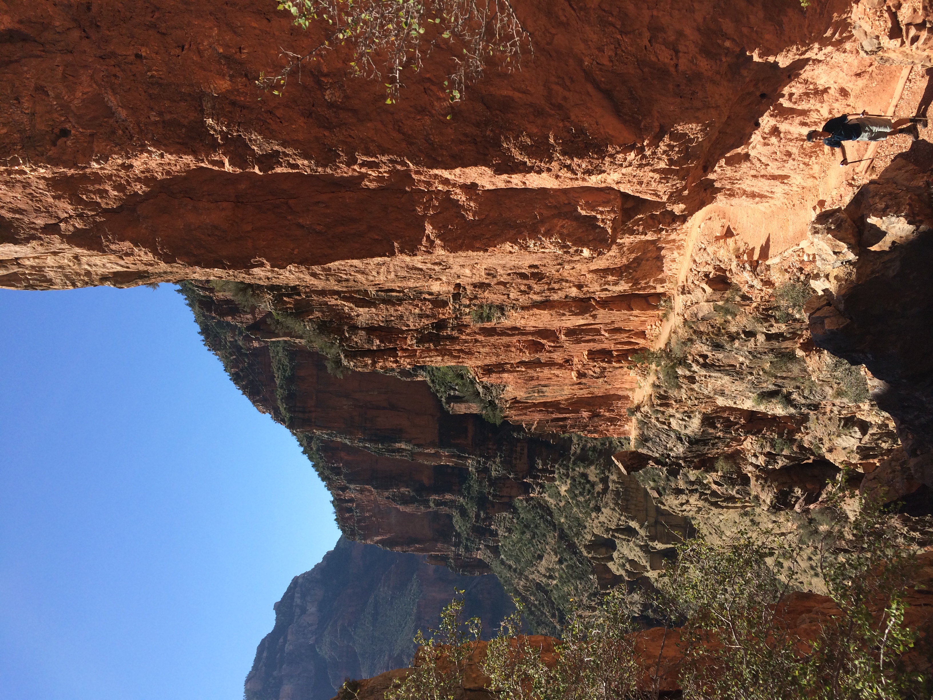
Beginning the descent into
Grand Canyon heading to Roaring Springs (the park’s recommended destination for
day hikes) on the North Kaibab Trail.
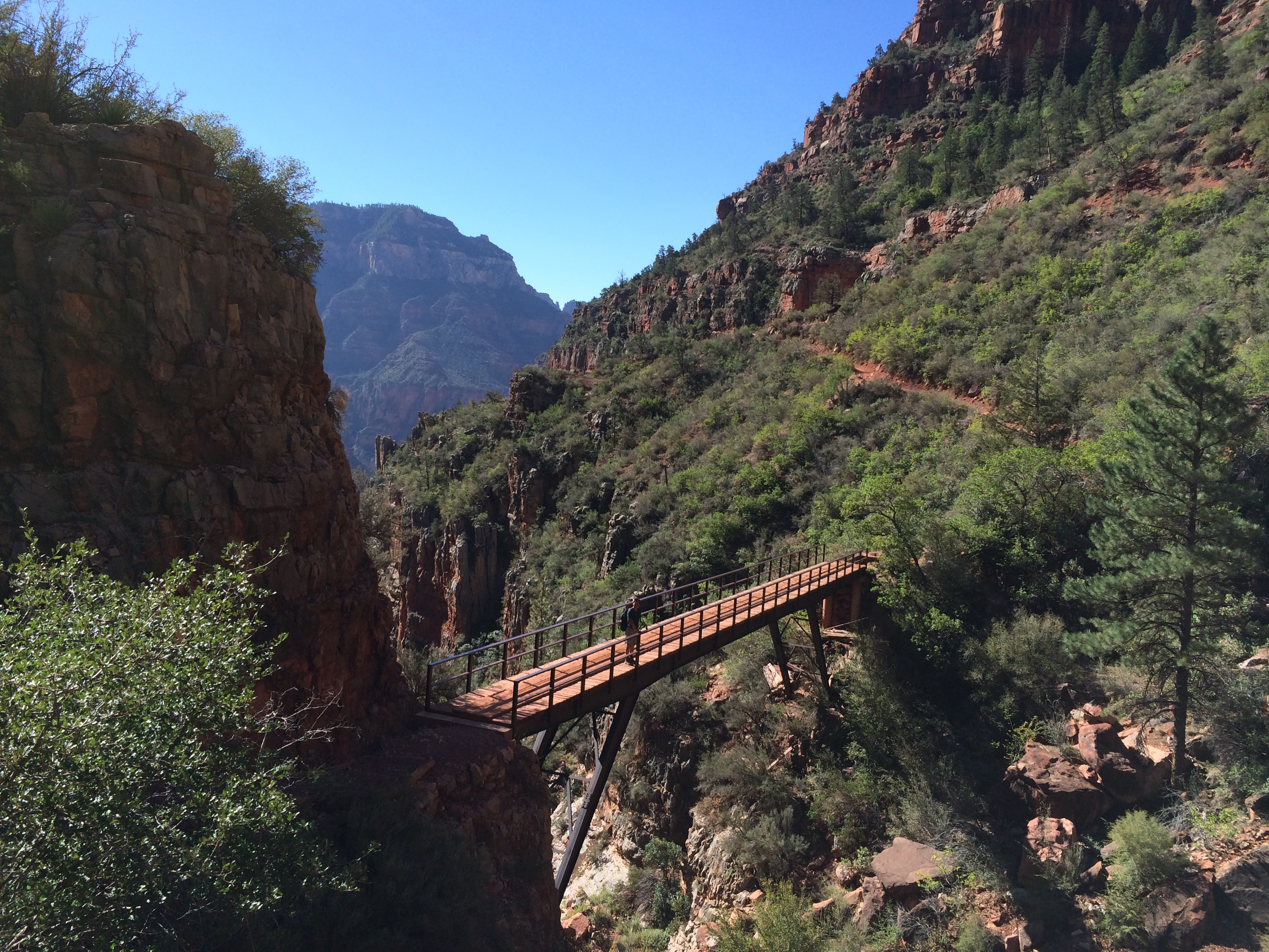
Can you see Li peering over the
bridge in the photo on the left? In the photo on the right, Mo points out that the
only source of water for the north rim village is pumped from the springs
below.

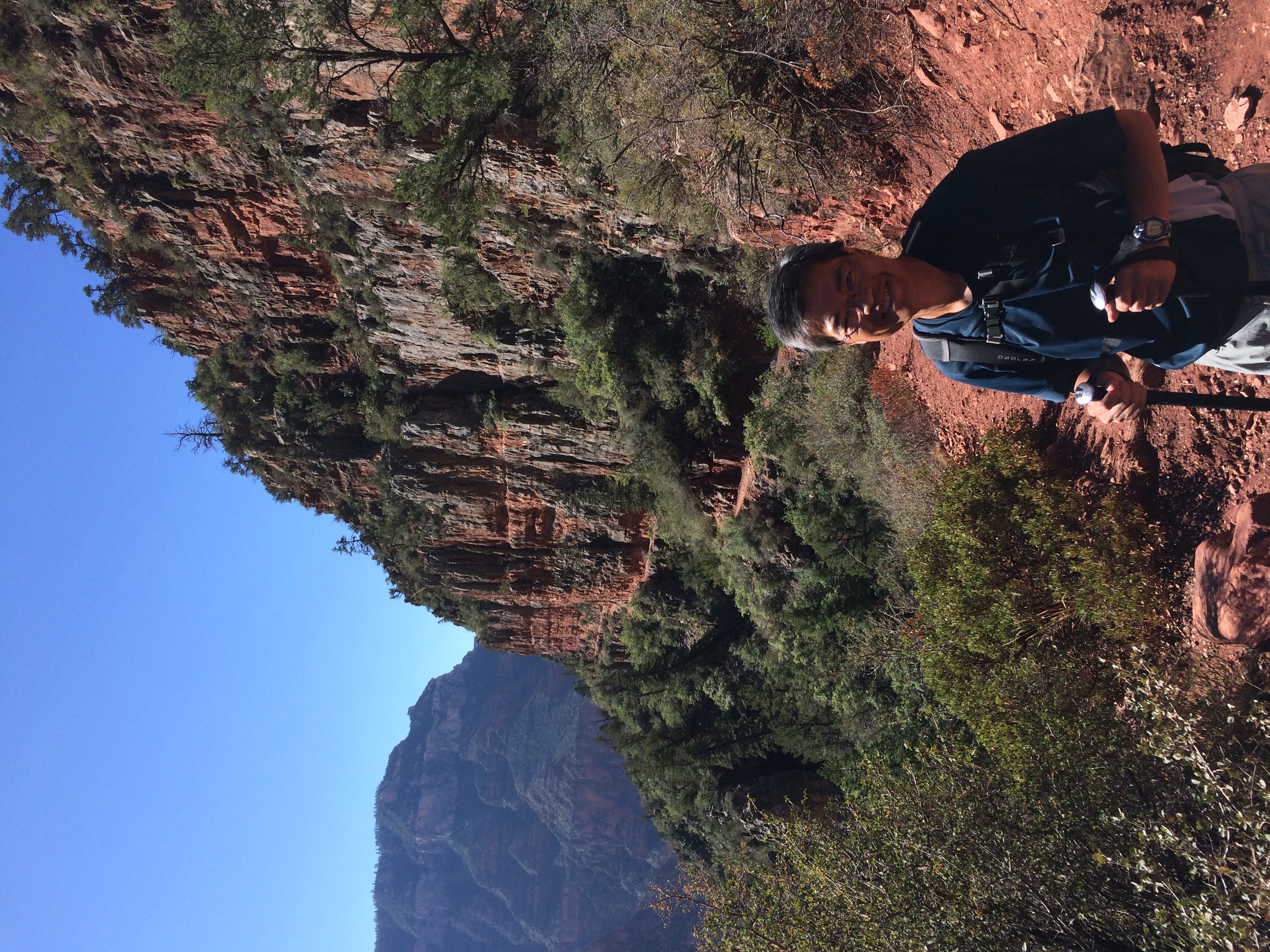
Are we there yet? Based on the
park information, it should have been a relatively short hike of 4.7 miles to
the springs, but our GPS app indicated that it was 6.5 miles.

Despite the additional miles
(and having to cope with the mule trains on our way back up from Roaring
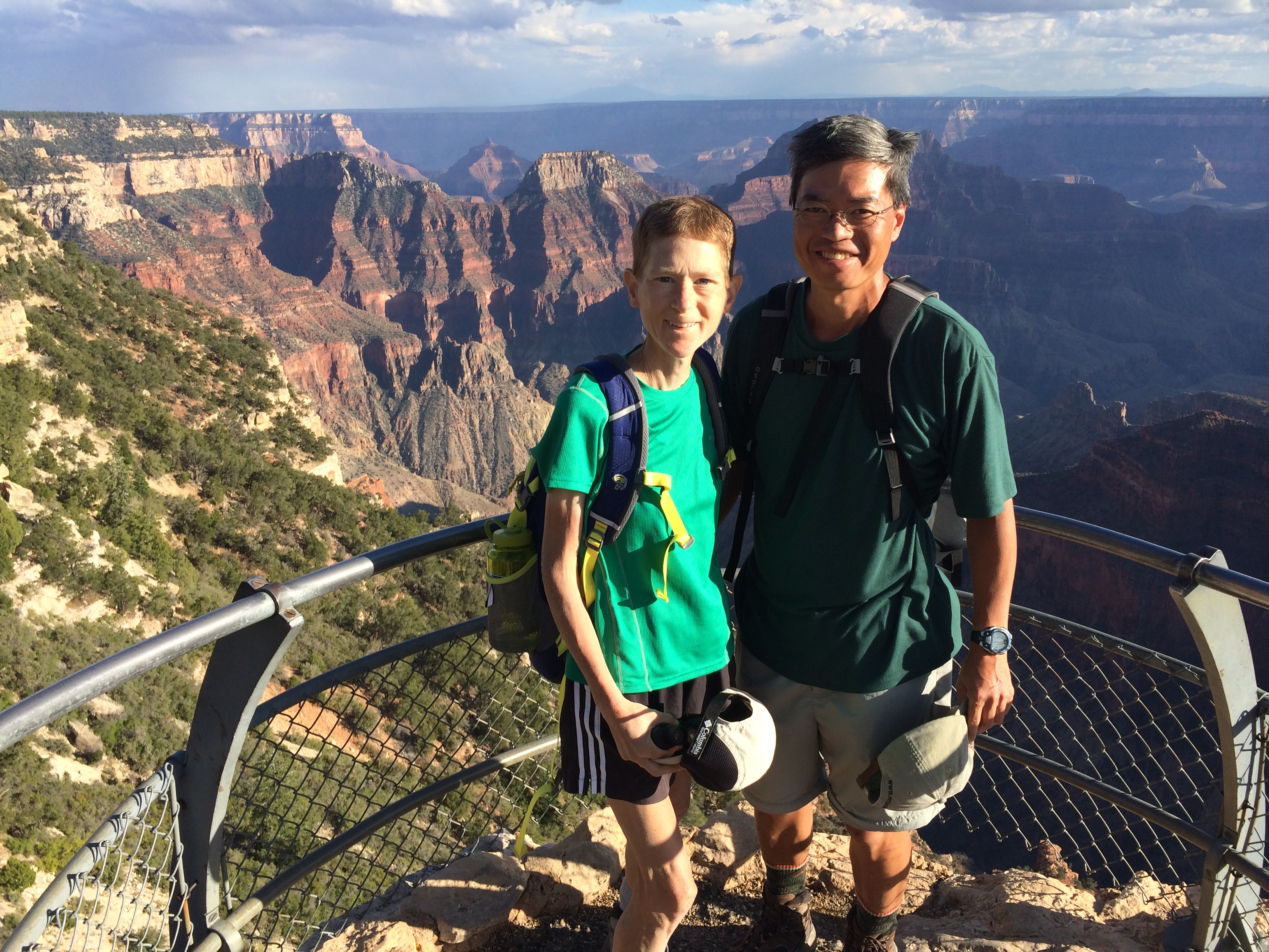
Springs), we still had time afterwards to drive along Cape Royal Road to the
remote southern most section of the north rim, which
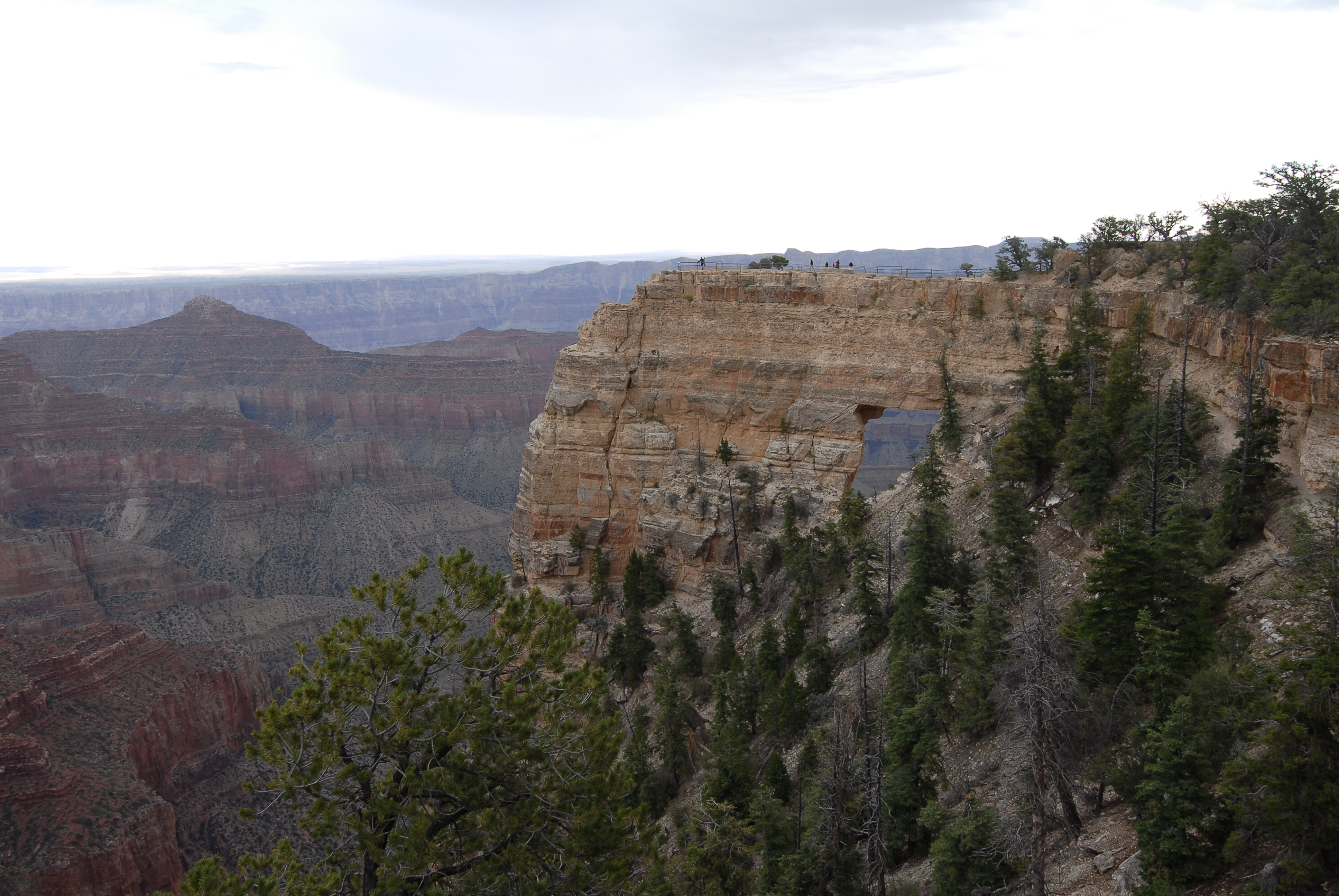
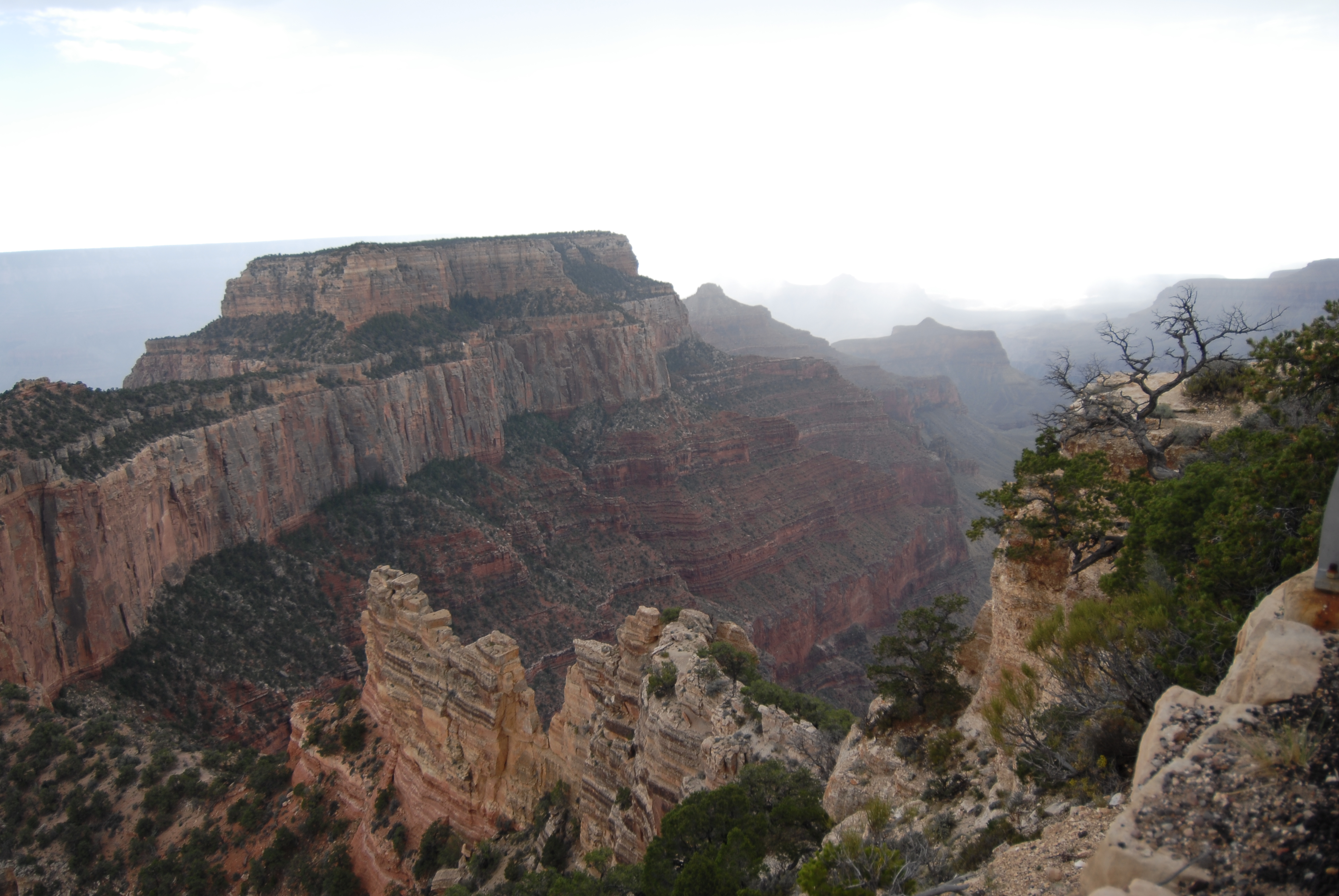
had the best views of the canyon, although our photos did not do it justice. A
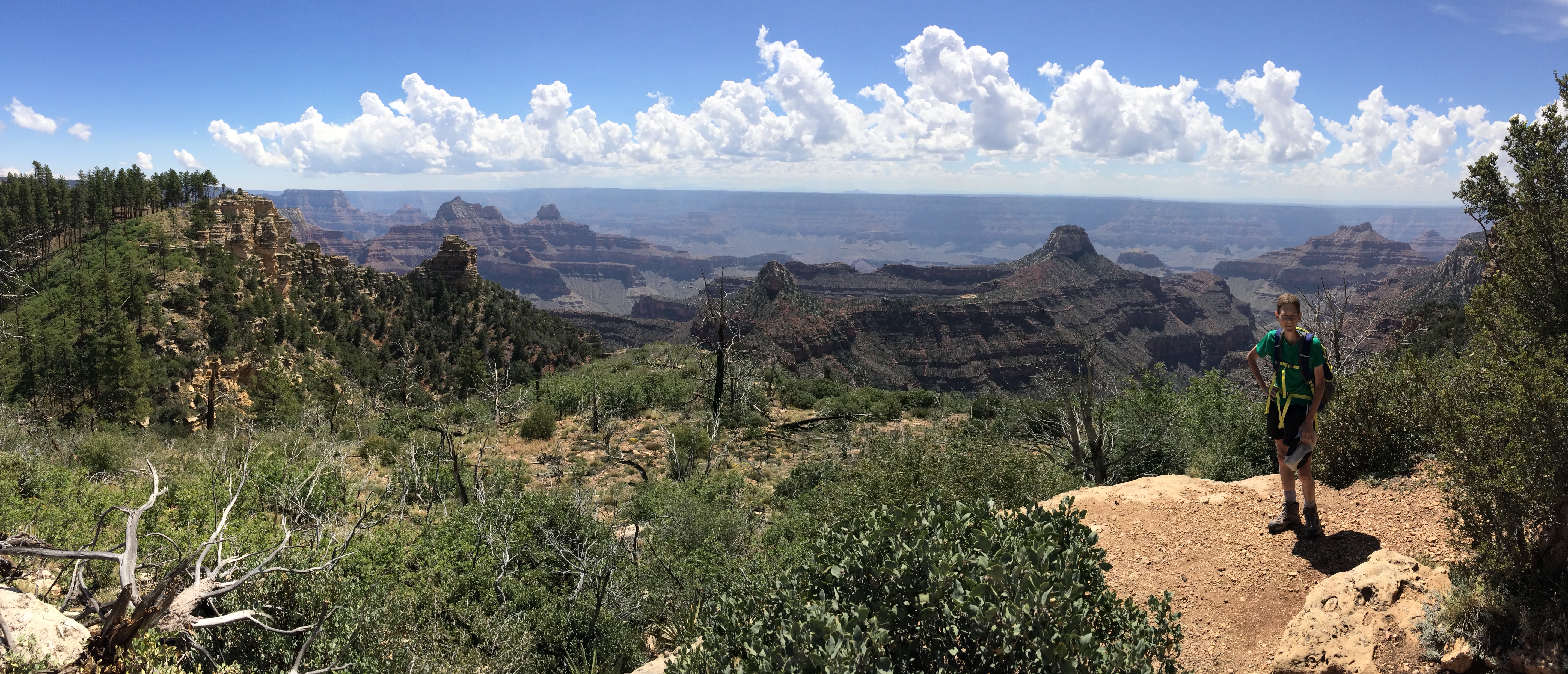
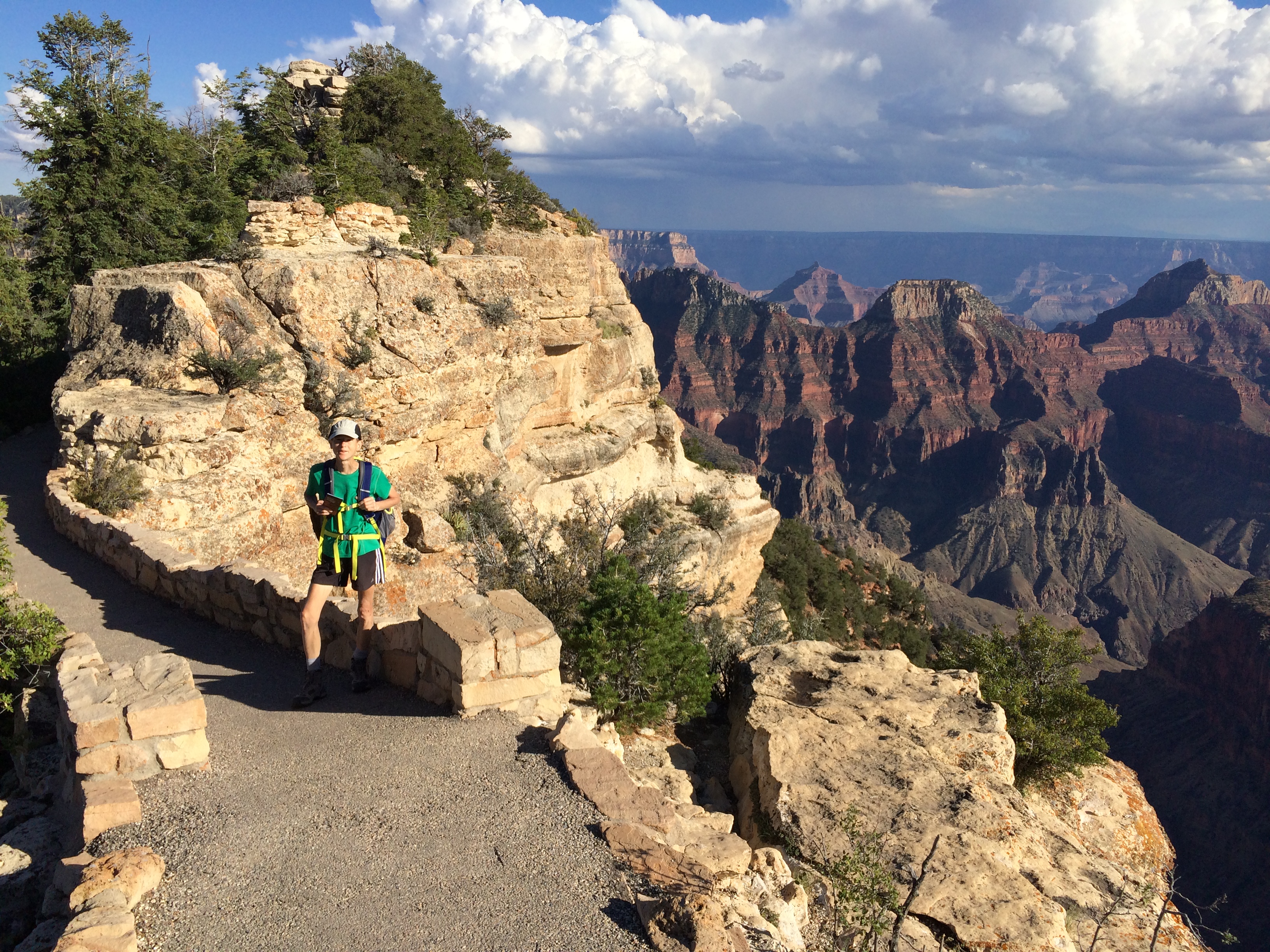
short hike led to our first view at Cape Final,
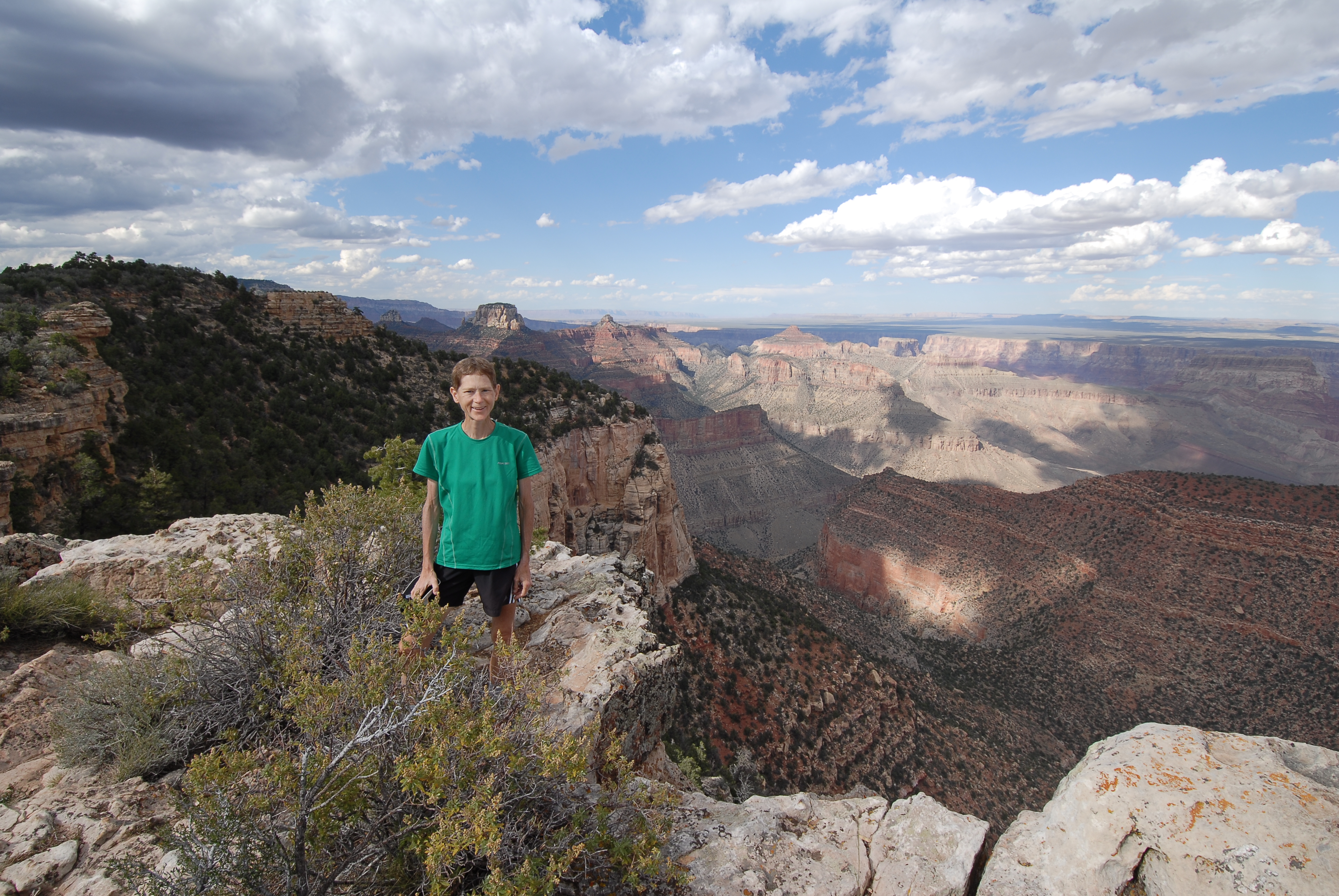
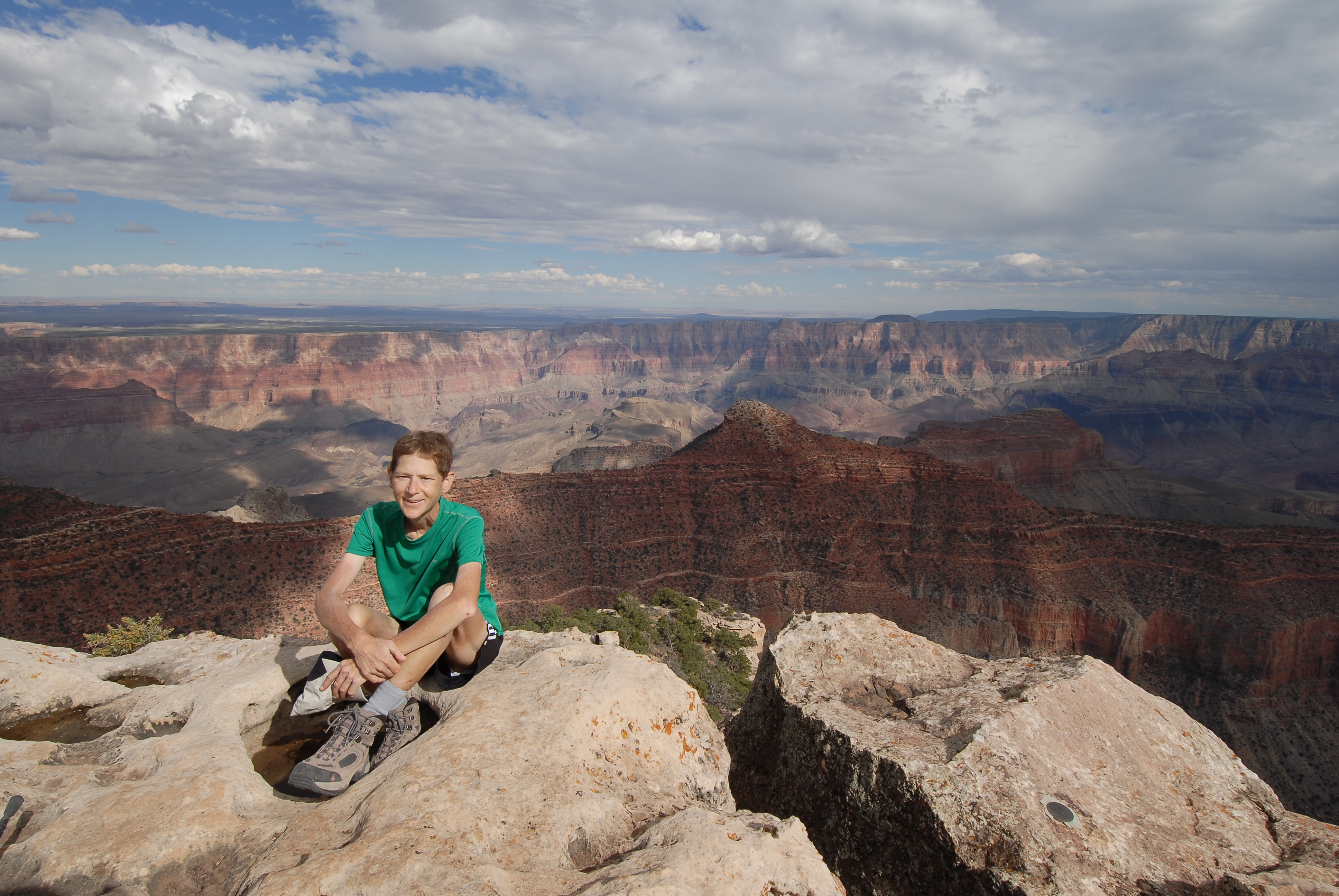
followed by views along the walk
atop Angel’s Window (can you see the people in the photo on the left?), and the
last view from Cape Royal Lookout at the end of the road (photo on the right).
We chased the best spots for
photos of these double rainbows that appeared after the rain. The first one was
from Walhalla Overlook,
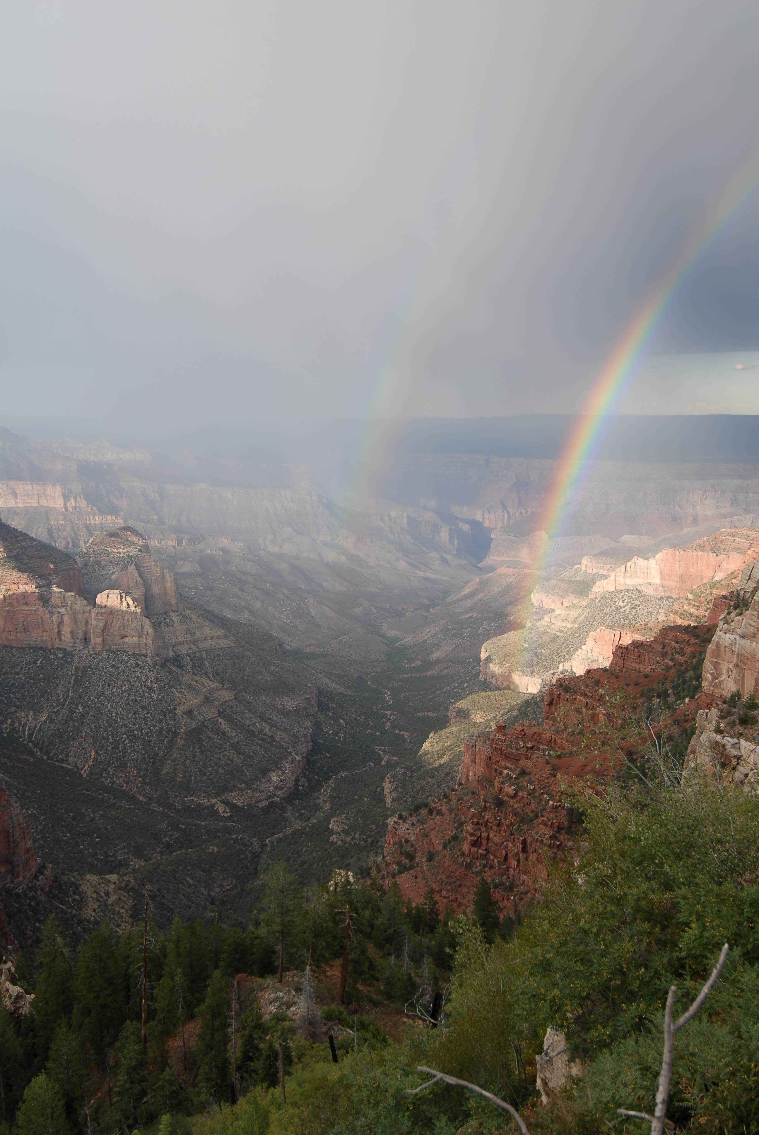
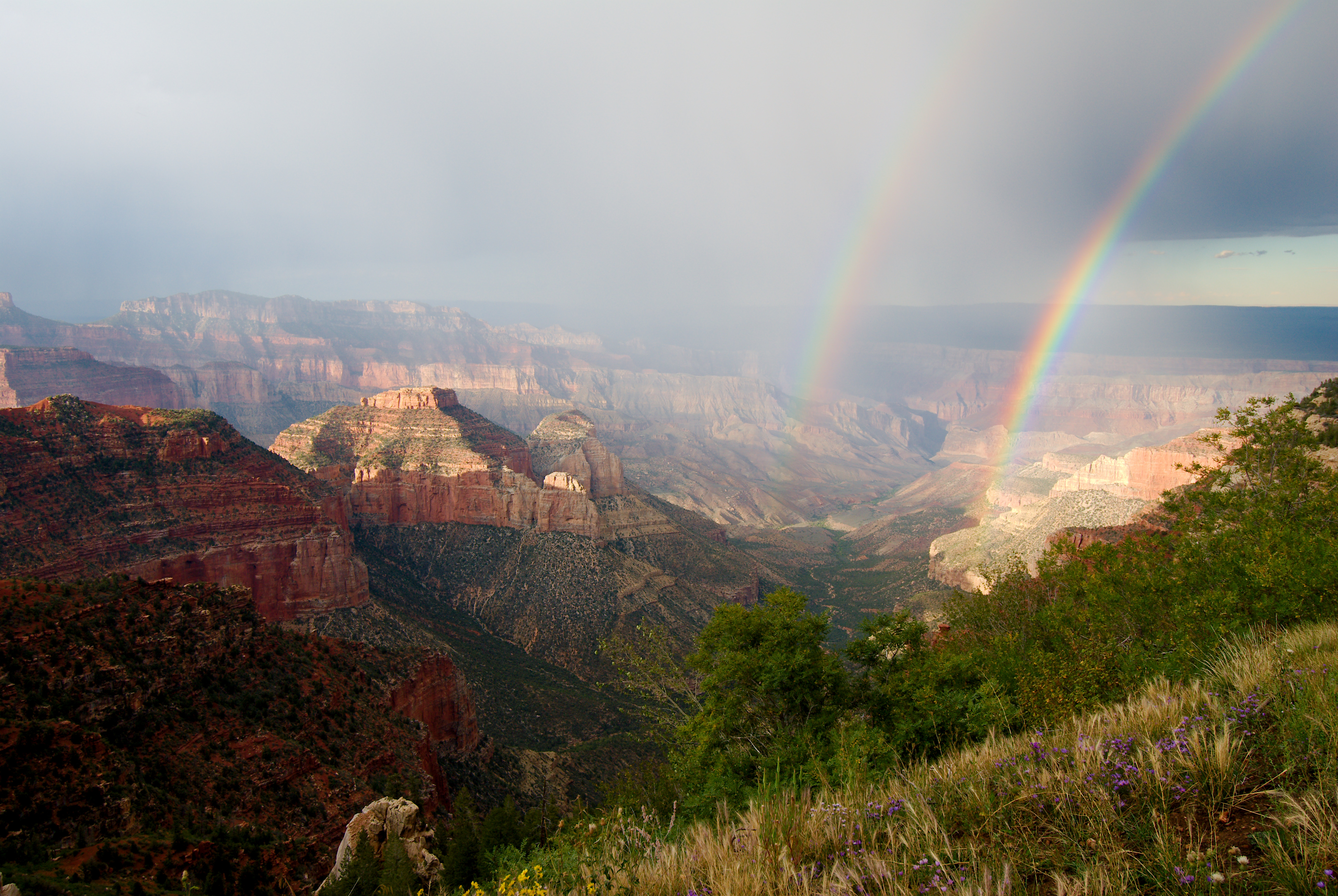
and the next one was from the
Vista Encantada picnic area.
|
|
|
|