|
Mont Blanc: Chamonix - Days 1 and 2 (click
once on any photo to display full image) |
Bonjour!
This vacation had us exploring some new
frontiers. It was Maureen's first trip to Europe, Li's first trip to the
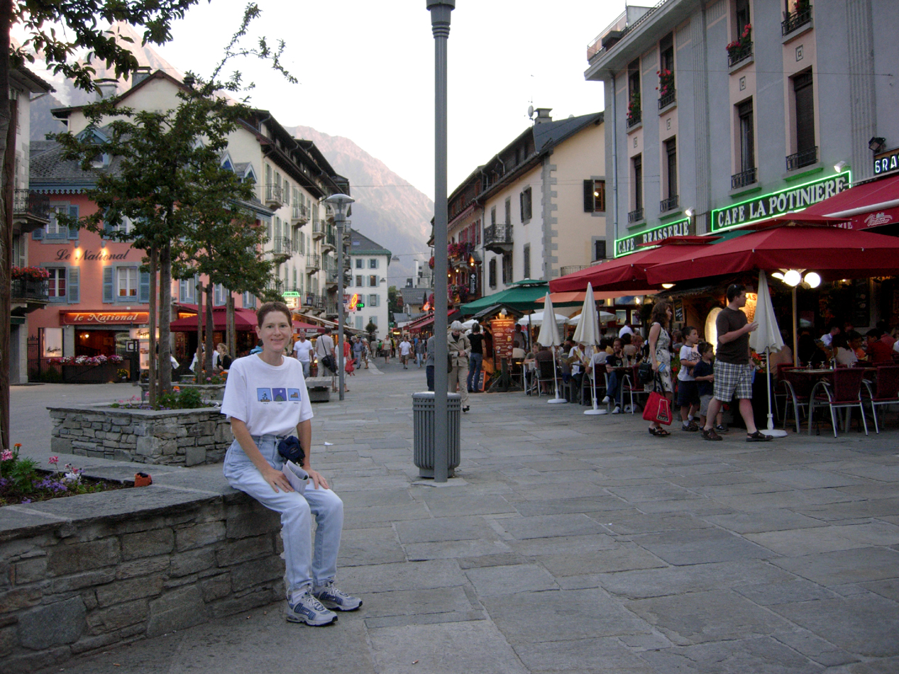
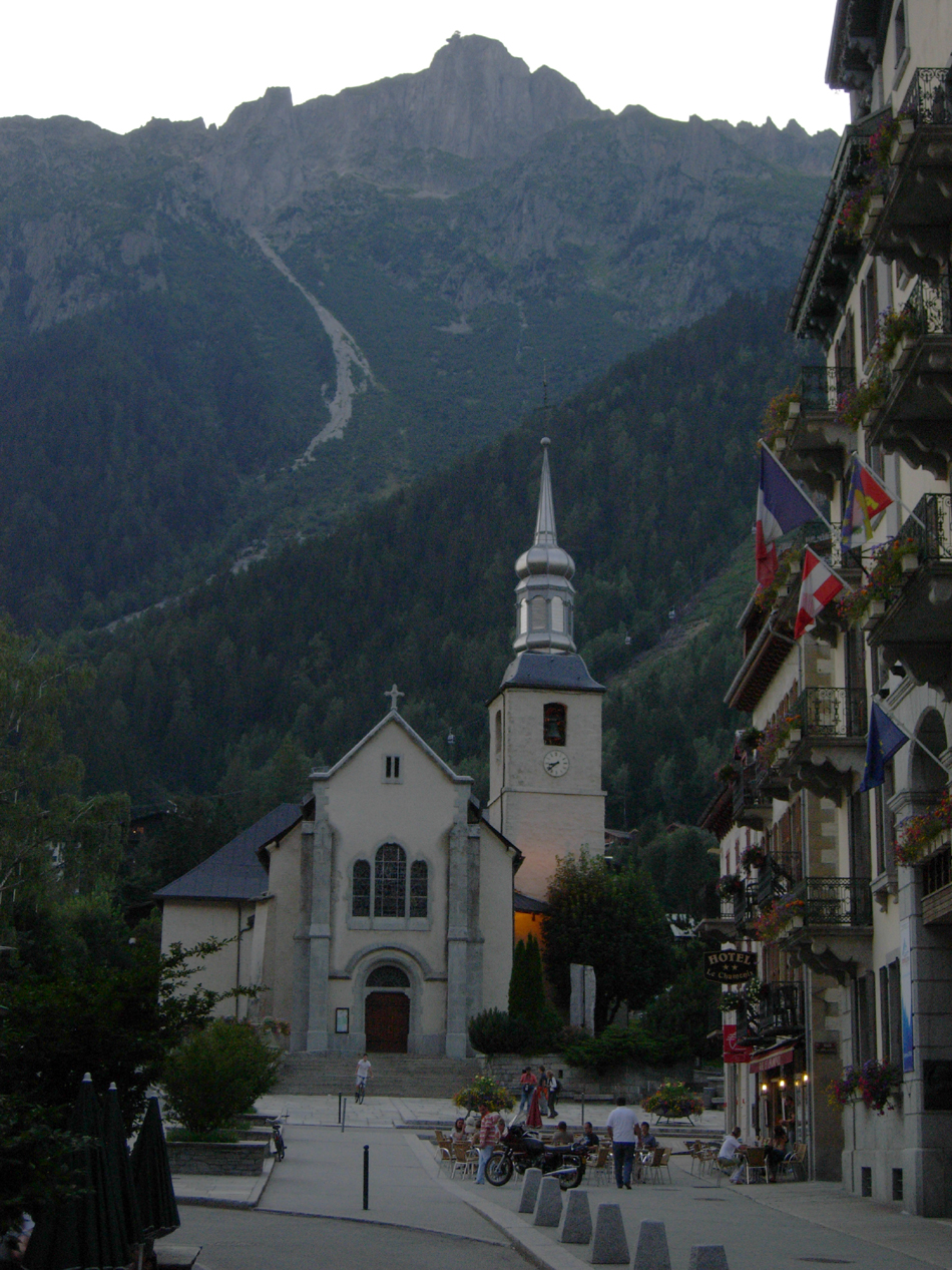
We left Newark airport at 5:45 PM on Monday July 27th, and about 22 hours later (after a 9 hour flight, 6 hour time zone change, 5 hour wait at the Geneva airport for our tour group pickup, and a 90 minute drive) we finally arrived in Chamonix at 4PM the next day. After checking into the hotel and despite our jet lag, we decided to go for a short walk around town. Chamonix is a pretty mountain town, similar to small towns just outside national parks in North America (like Estes Park in Colorado and Banff in Canada). This was a popular ski place, but there were still quite a few people around enjoying summer activities. Some of the ski lifts were even operational during the summer for transporting hikers, climbers, paragliders, etc. up the mountains.
The Mont Blanc Tour
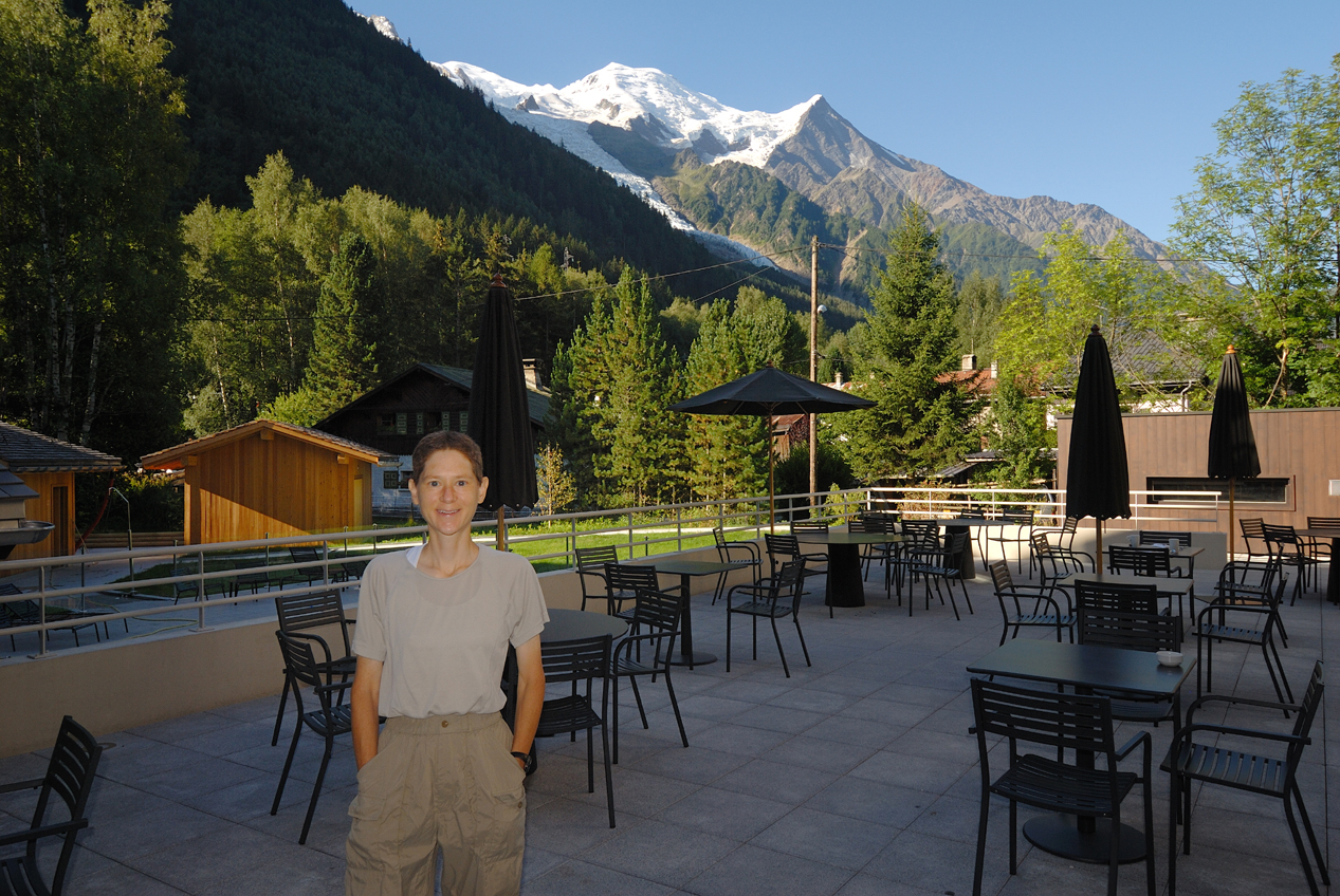
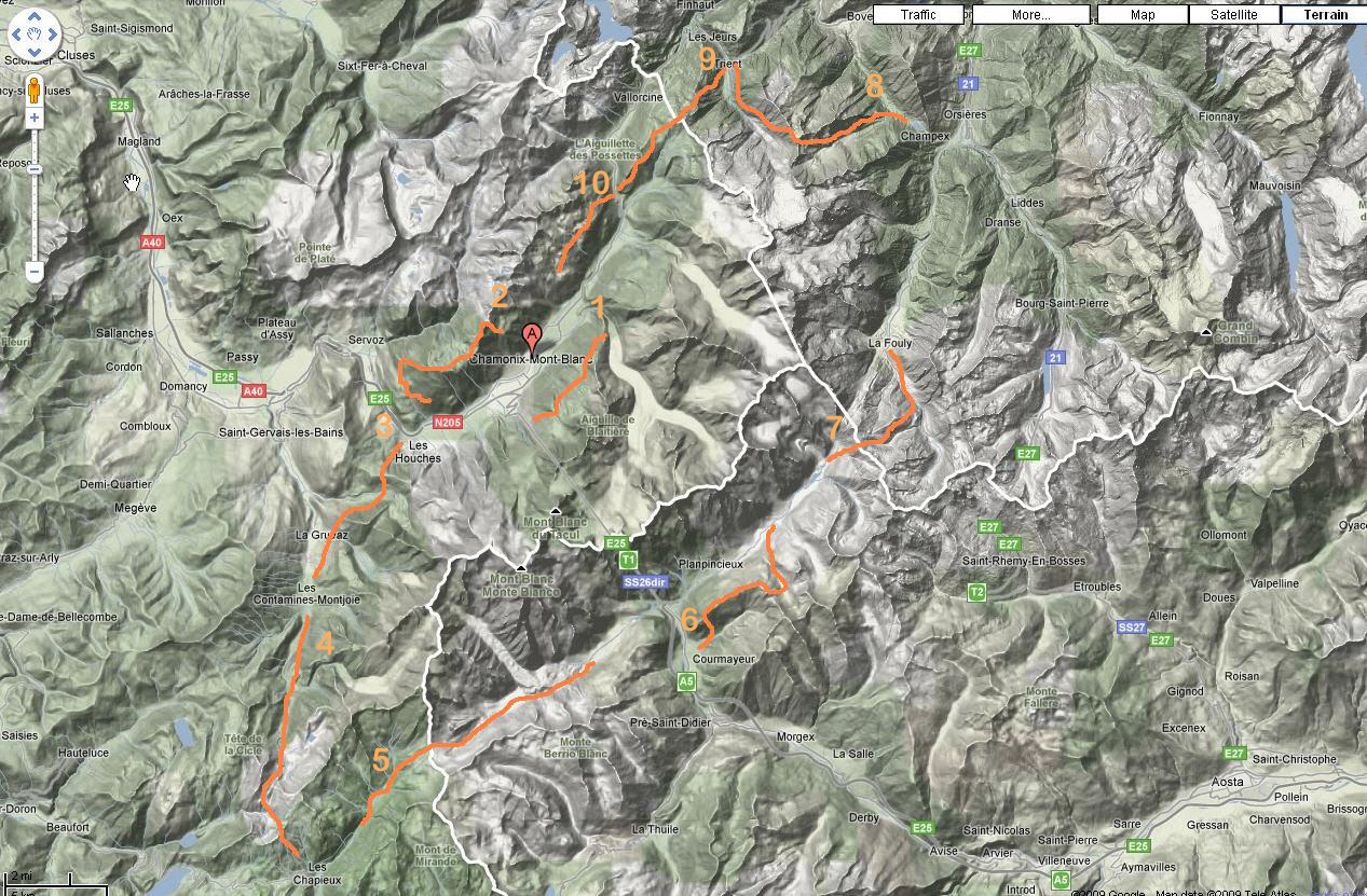
Before dinner, our tour company (Mountain Travel Sobek) held a briefing on the deck behind our hotel with a view of Glacier des Bossons (the northern portion of Mont Blanc) in the background. Our tour group included two hiking guides, one driver (mainly for transporting luggage between hotels), and eleven other clients - most of whom were very experienced hikers. One couple had done Peru (Machu Picchu) and the John Muir Trail in the Sierras, three people had summitted Mt. Kilimanjaro, a few people from Boulder, CO had hiked the Rockies quite a bit, and most of the east coasters had hiked the Whites and Mt. Katahdin. Over the next 10 days, our guides would lead us on sections of the Mont Blanc Circuit traversing France, Italy, and Switzerland . On the first map below, Chamonix is denoted by the "A", and on the second more detailed map, our route is shown in orange (click on either map to enlarge).

Day 1 - Warm Up Hike
The warm up hike on the first day began with a walk across town to take the cog train up to Montenvers (click for video) which overlooks the Mer de Glace, a large glacier that looks like a Sea of Ice (the English translation for Mer de Glace). At the top of Mer de Glace was the Grandes Jorasses, a large mountain with Italy on the other side, and where we would be in just a few days. The guides pointed out many of the craggy peaks that could be seen from here, and we were a bit surprised to learn that every one of them had been climbed.
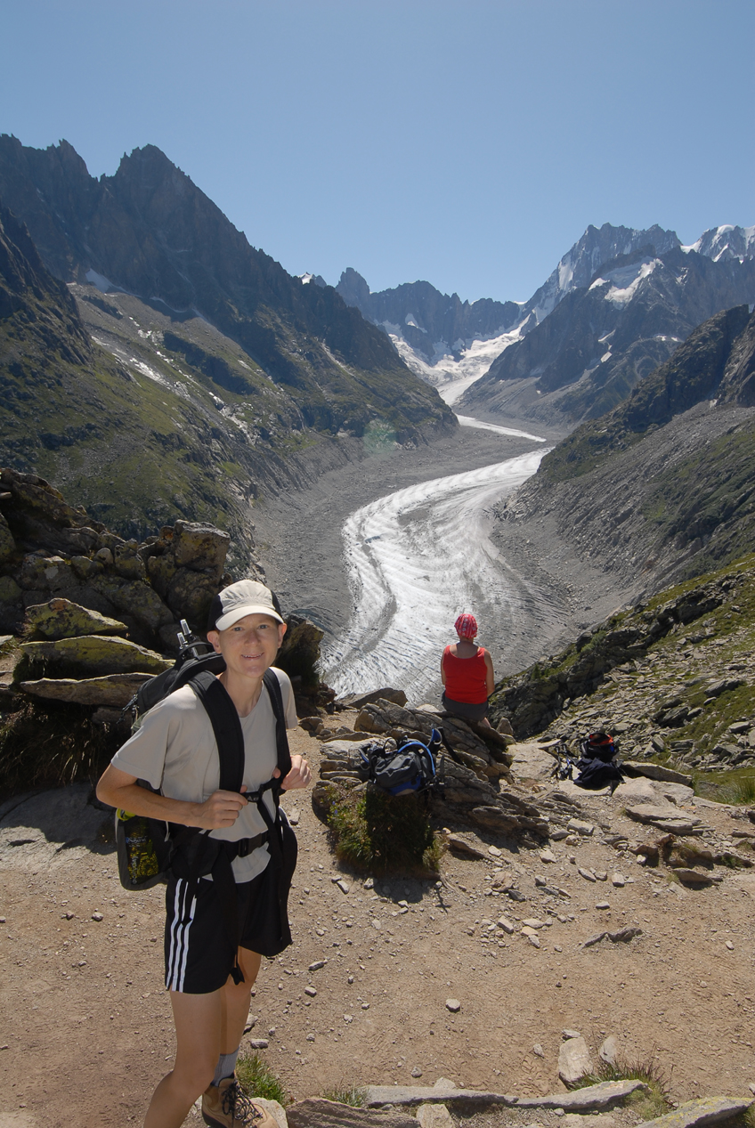
That's our assistant guide Patricia in the photo with Maureen below - she usually stayed near the rear of the pack with us slow hikers. From the overlook, we hiked upward until the trail leveled out and ran along the base of the Chamonix Aiguilles (Aiguilles translates to Needles), with beautiful views of the Chamonix valley below.
Day 2 - Le Brevent
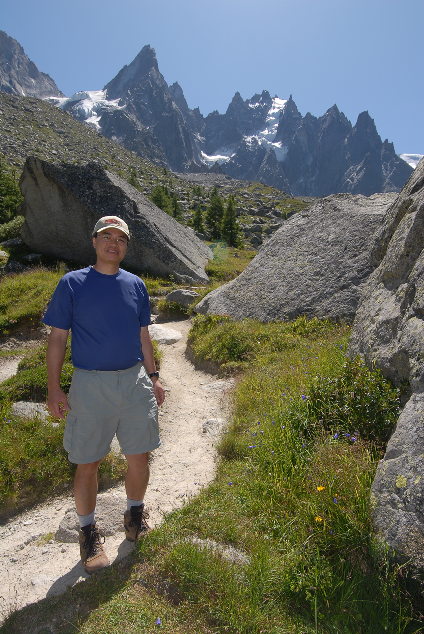
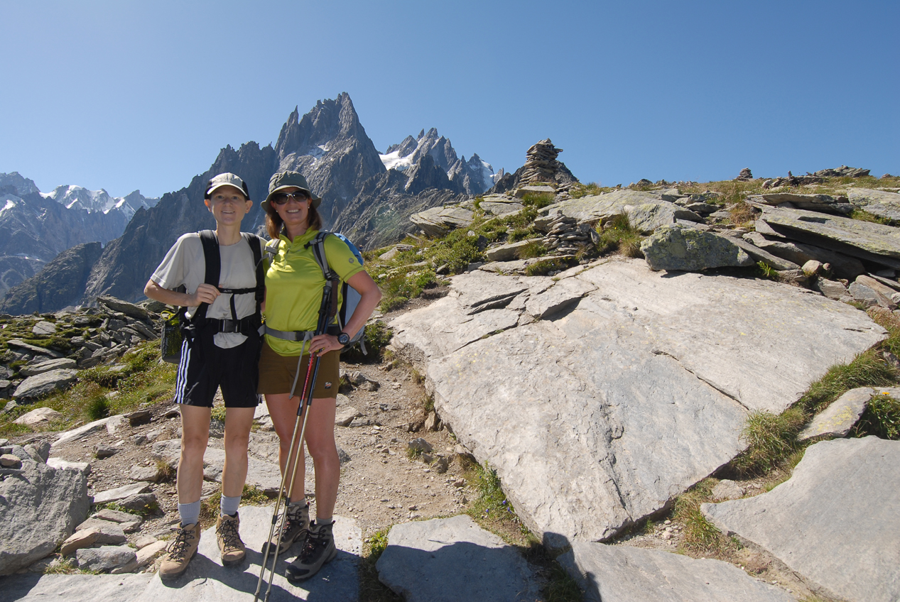
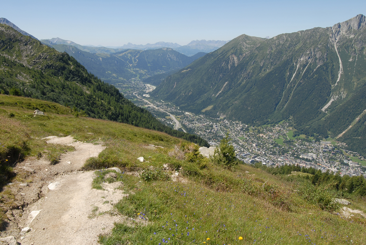
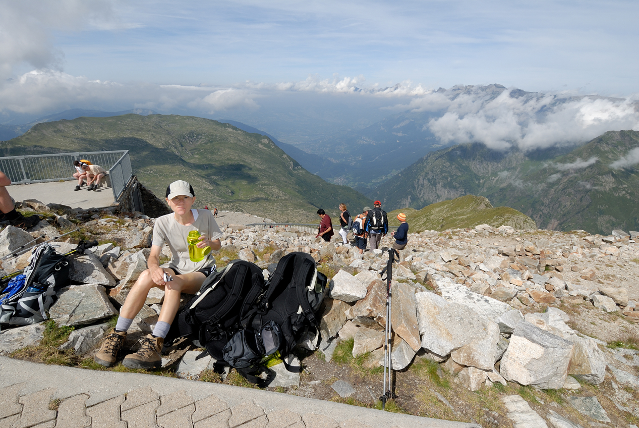
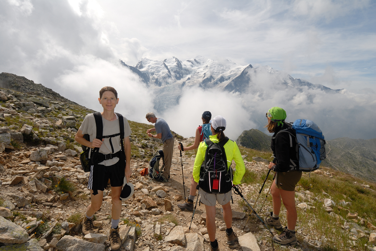
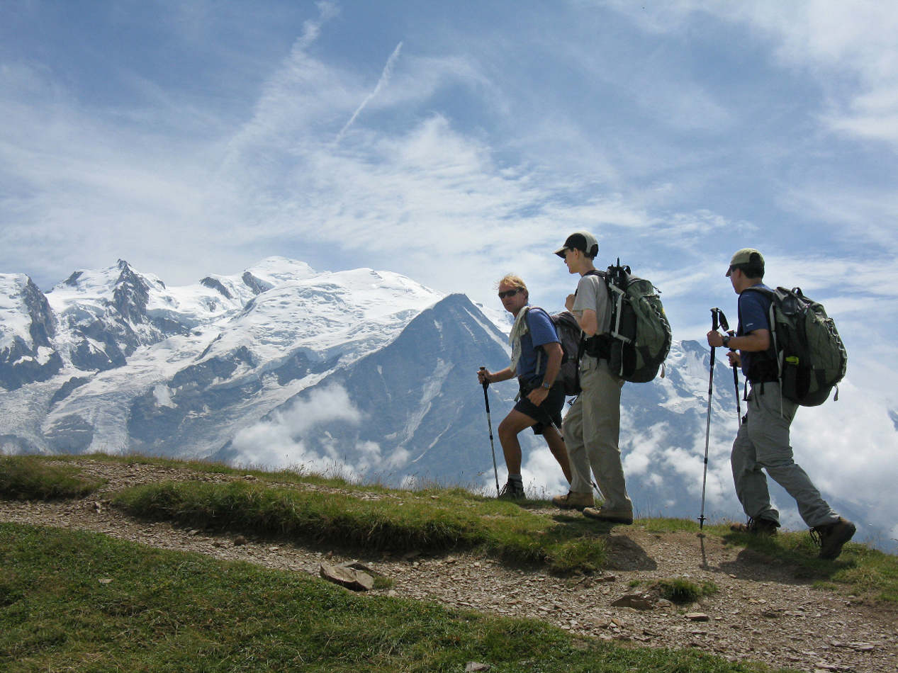
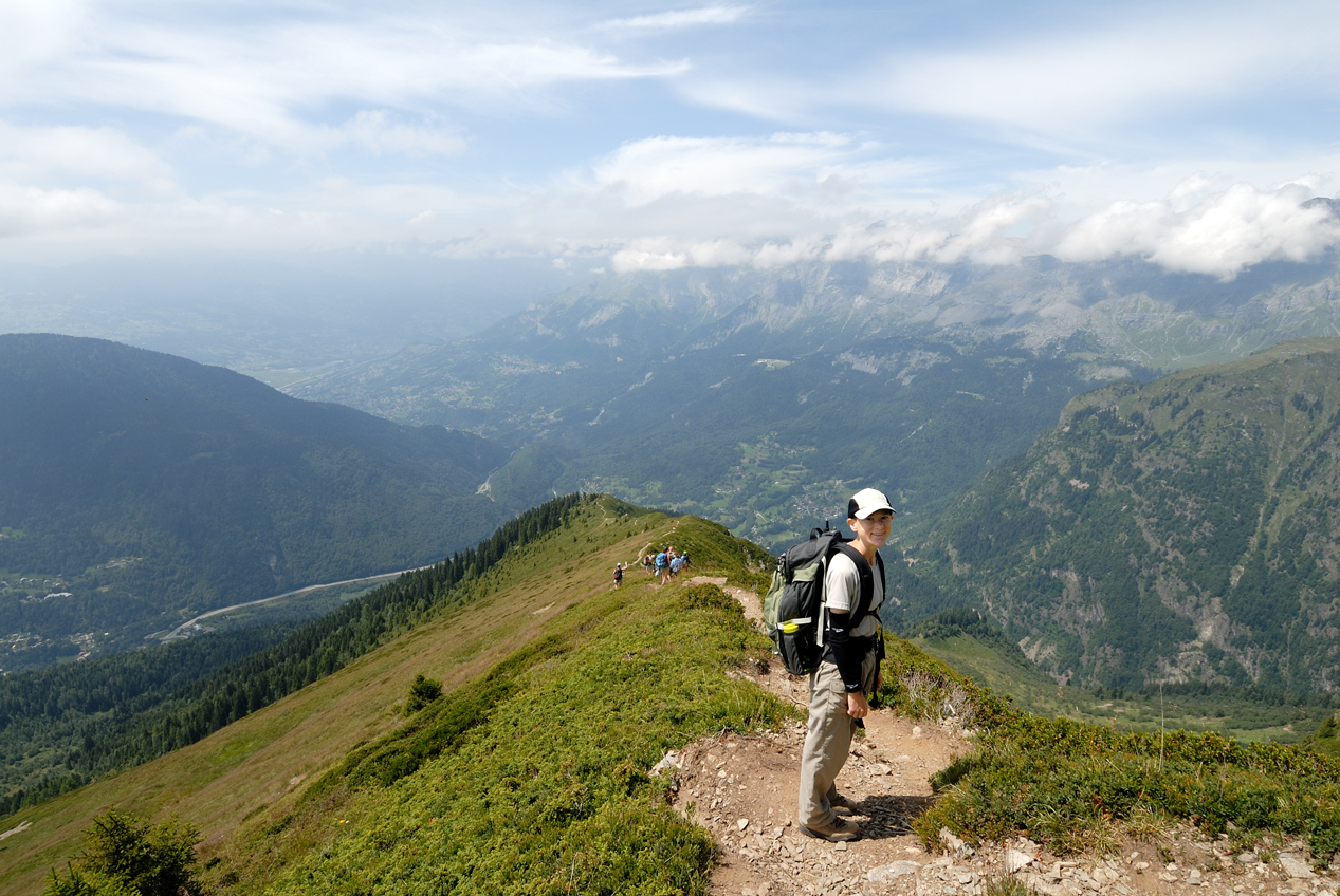
Our hike on the second day was on Massif de Aiguilles Rouges (The Red Needles) on the northern side of Chamonix, directly across the valley from yesterday's hike. Normally this hike would have started from the valley floor, but our lead guide Stéphane decided to have us take the telepherique (cable car) part way up the mountain, and we began hiking from there instead. This allowed us to take full advantage of the really nice weather and hike at a higher altitude with better views. Just past the telepherique station, there was a launch area for paragliders, and we saw several take off (click for paraglide video). Some of the the riders were in pairs (a guide and client), and as they ran off the side of the mountain to get the glider canopy to open, they seemed to struggle a bit compared to the single riders. After a few minutes of watching the paragliders, we continued our hike up to the summit of Le Brevent, then along a ridge, with views of Mont Blanc across the valley. As shown in the photos below, Blanc, which means white, is an apt name for a mountain that is always snow covered. Also visible from the ridge was the town of Les Houches, our destination for the day. The descent was long and steep, but there were great views all the way down (click for Day 2 hike video).
Le Brevent Summit
Along the Ridge (Stéphane on far left)
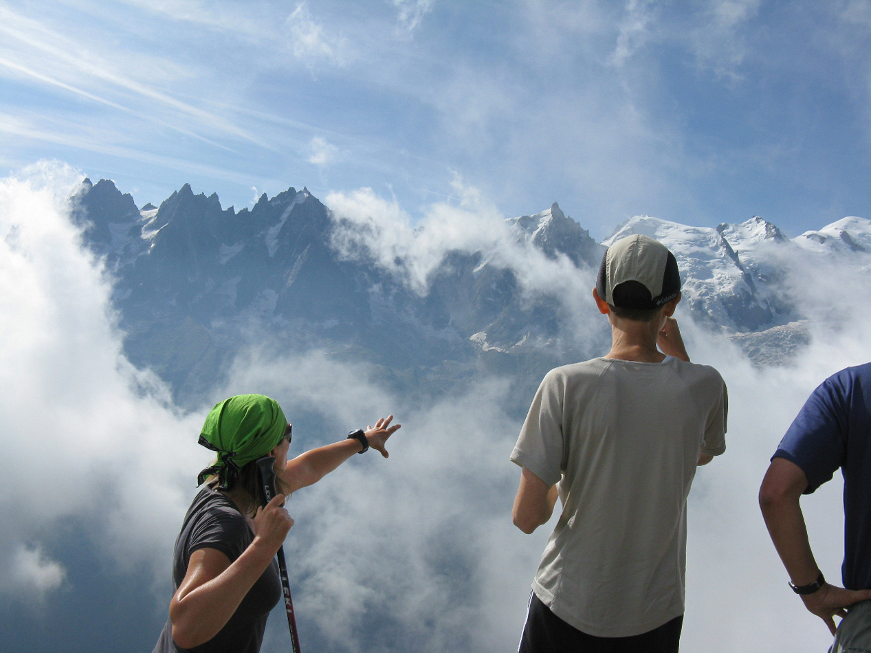
Beginning the Descent
|
|
|
|