|
Bike Trails: New Jersey
(click once on any photo to display full image) |
D&L Trail
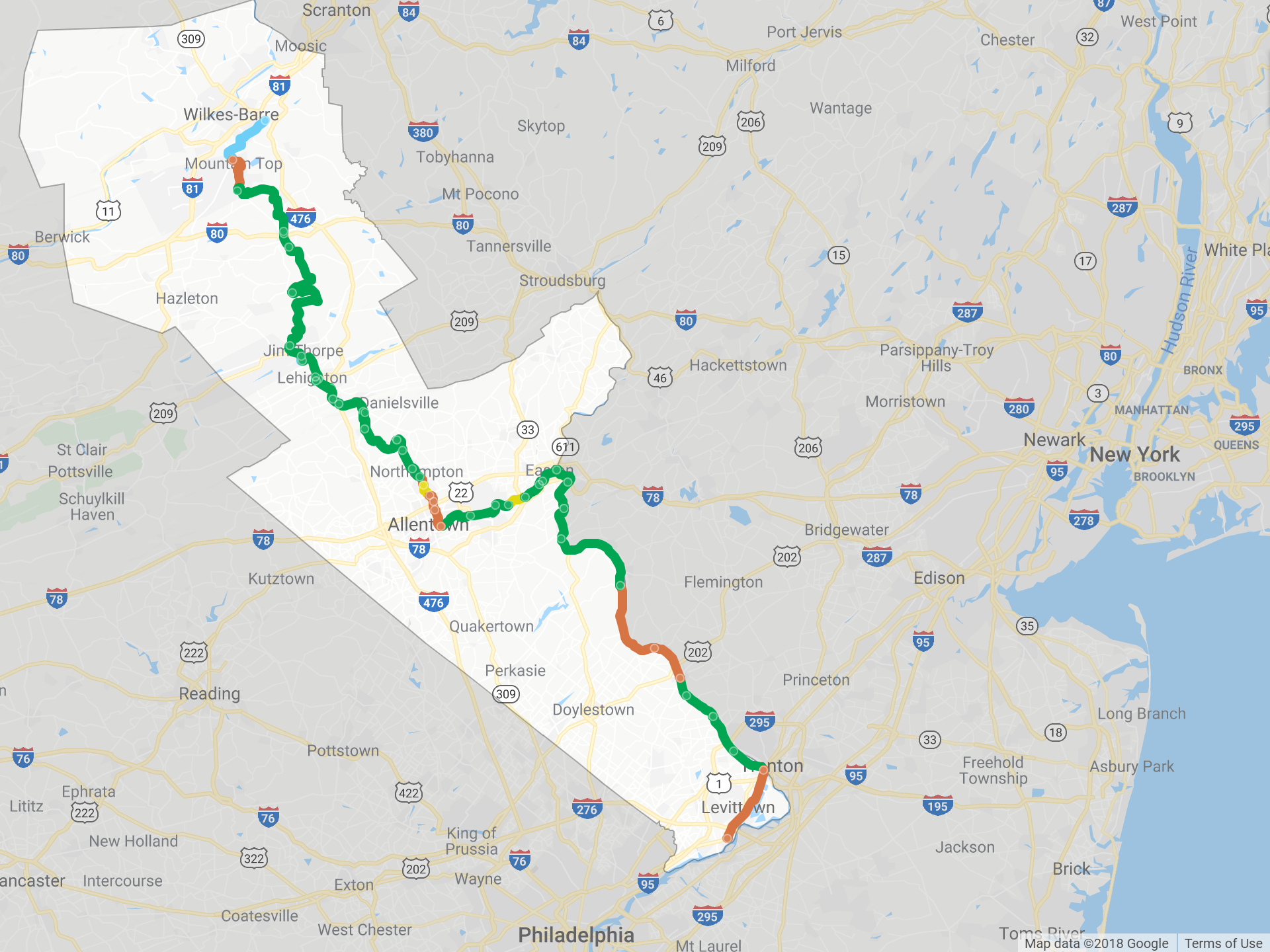
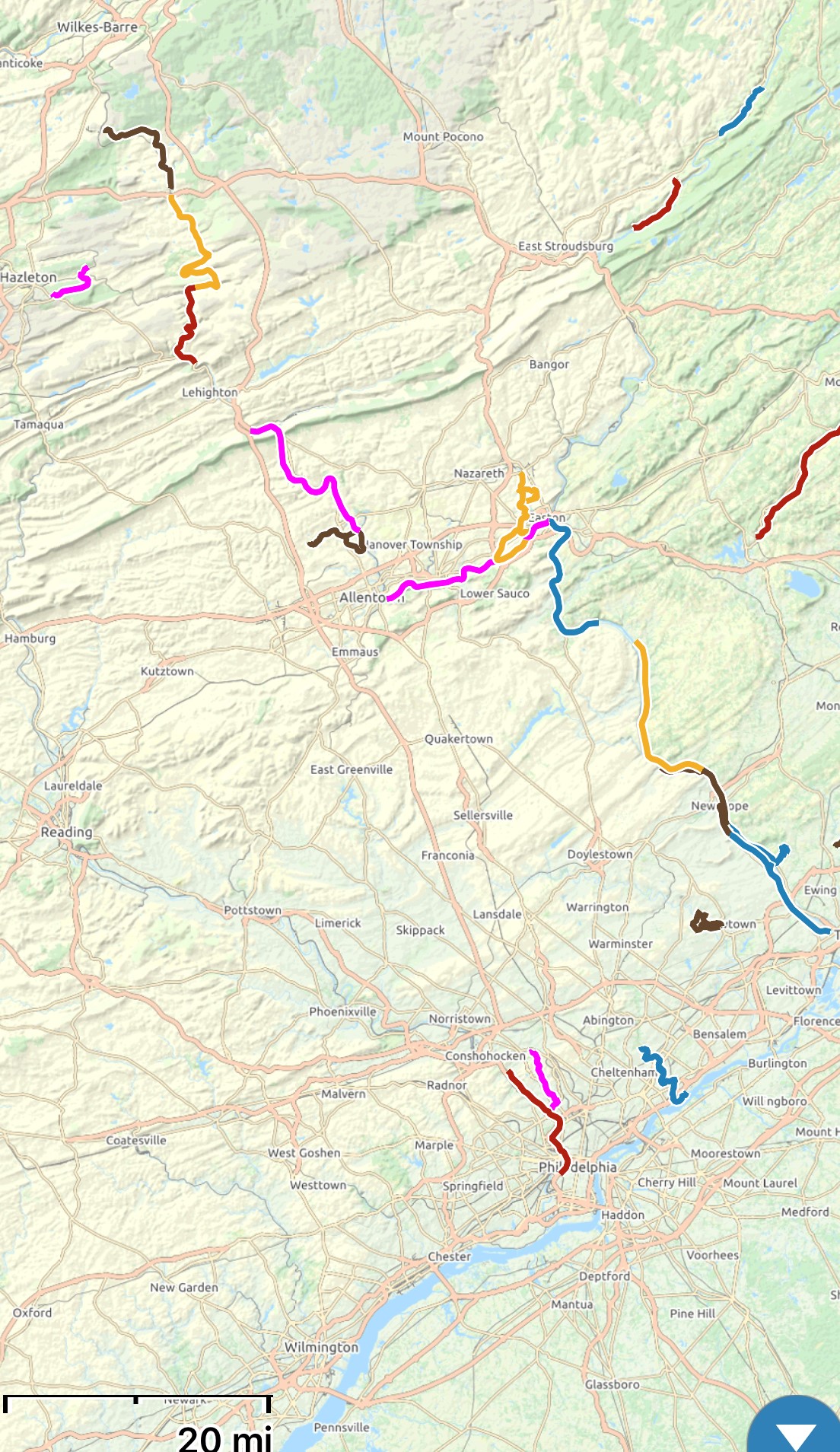
Eastern Pennsylvania’s D&L
Trail spans just over 140 miles from Bristol, near Philadelphia, to Mountain
Top, in the Appalachians. It follows the Delaware River in the south and the
Lehigh River in the north. The map on the left shows the entire D&L trail and
the map on the right shows the GPS tracks of the segments that we rode.
These photos are from a 9 mile
section along the Lehigh River from Jim Thorpe to Penn Haven.
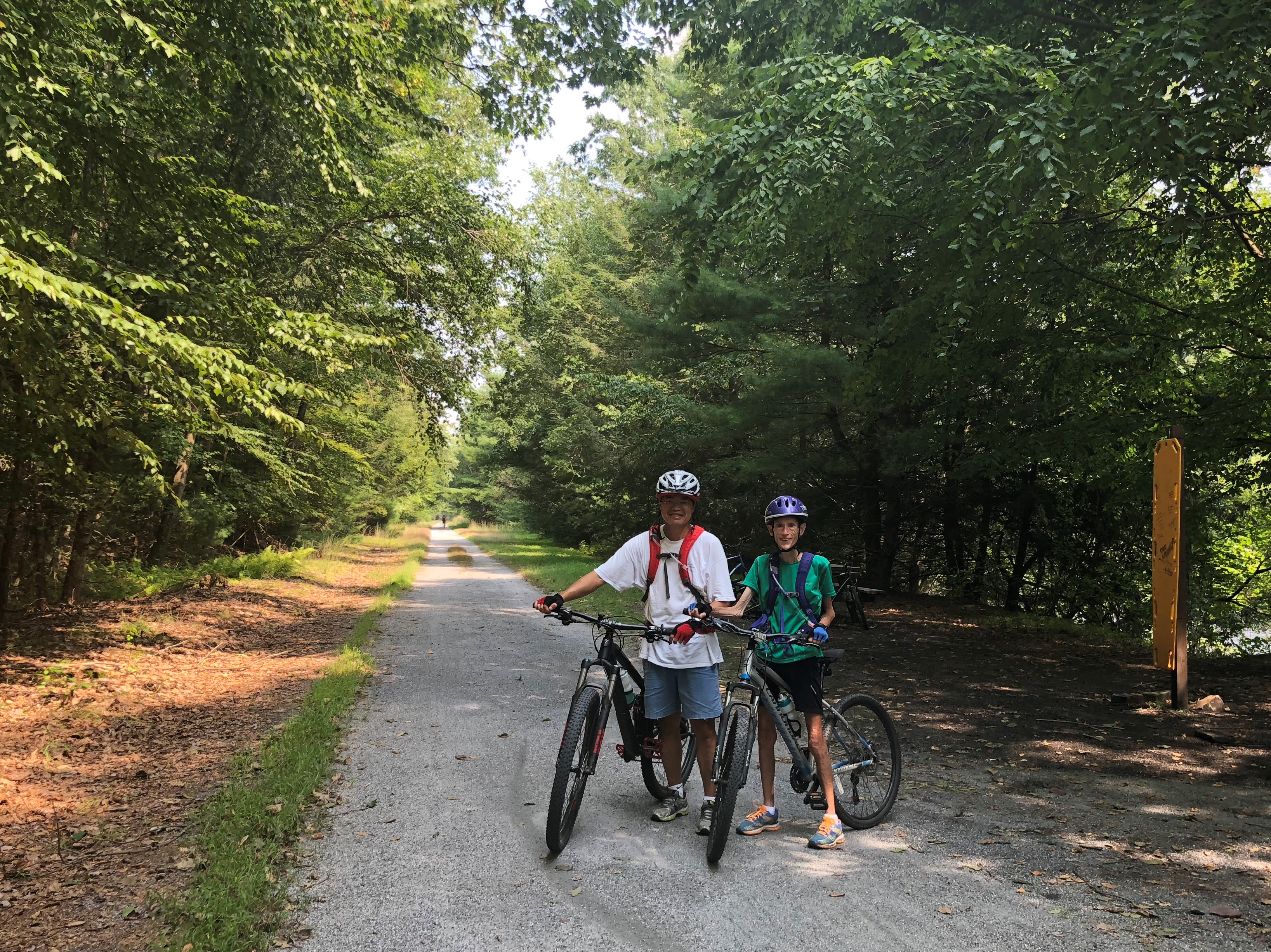
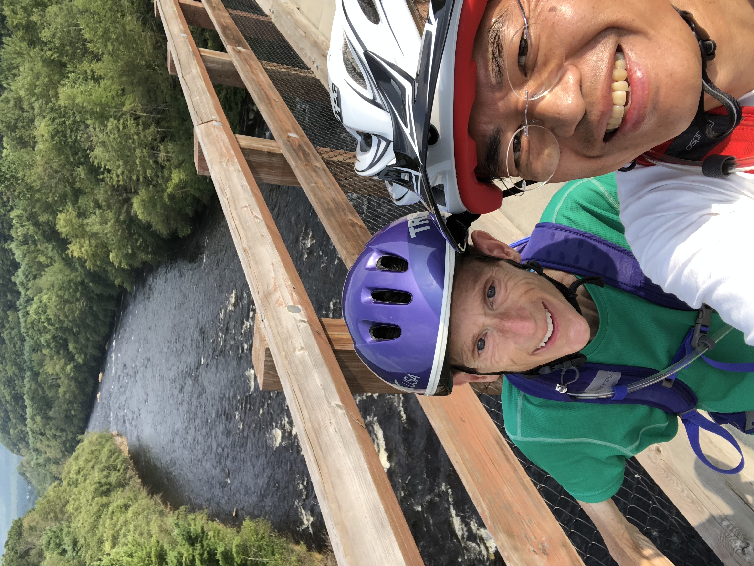
Do we need a selfie stick?! It’s
nice to have both of us in the photo but it doesn’t quite capture the scenery
as well (compared to the photo that Li took of just Mo above).
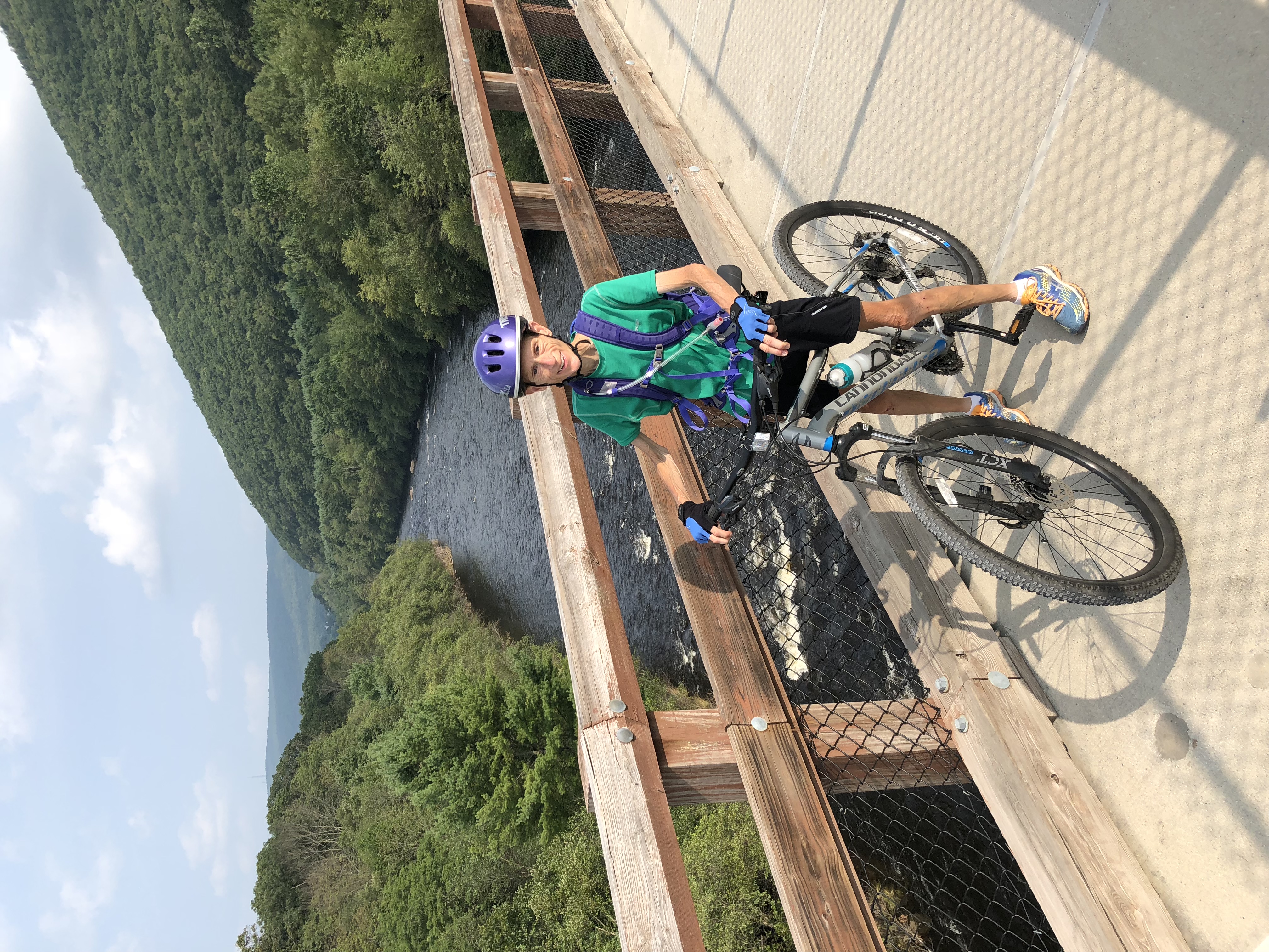
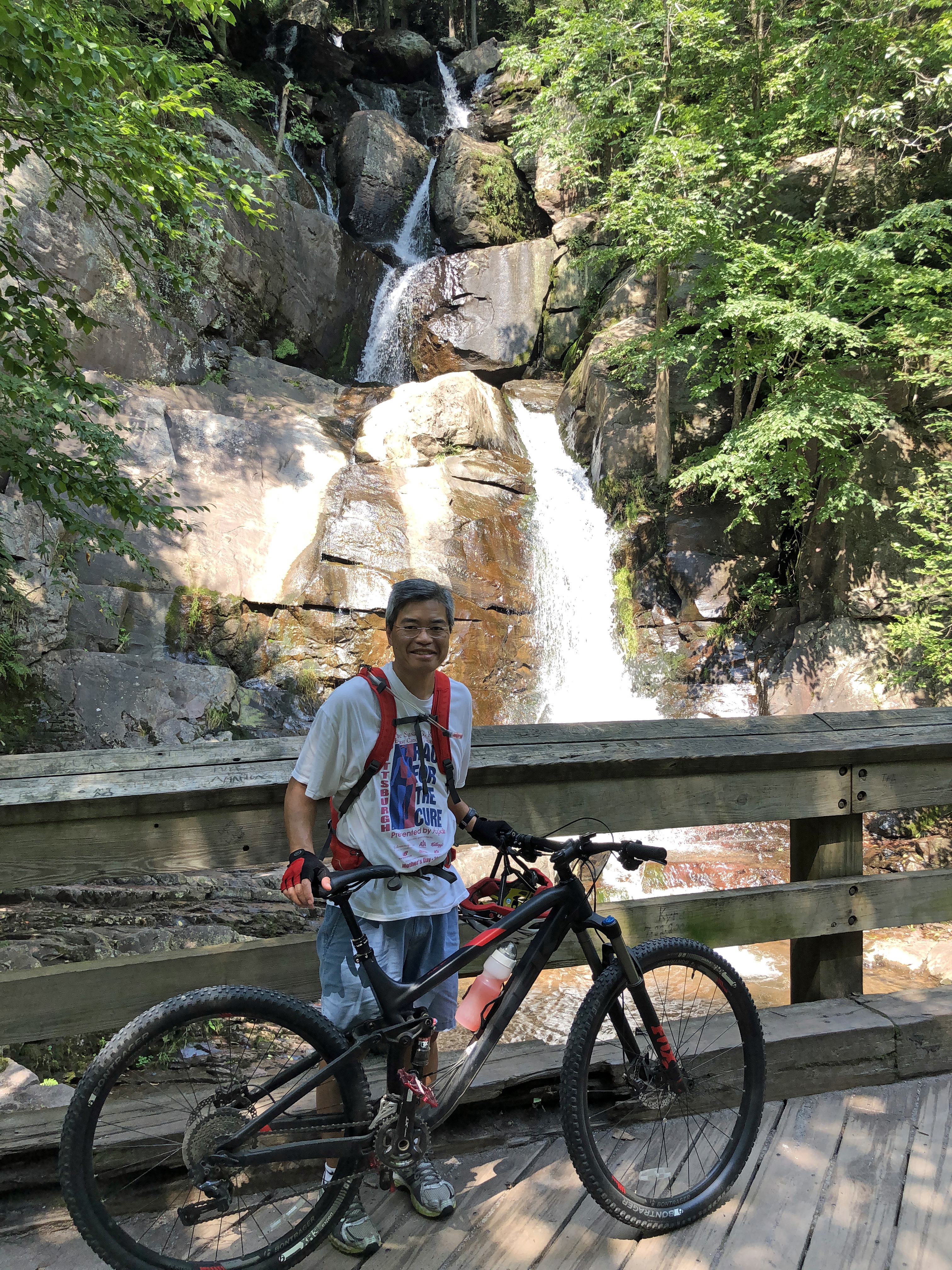
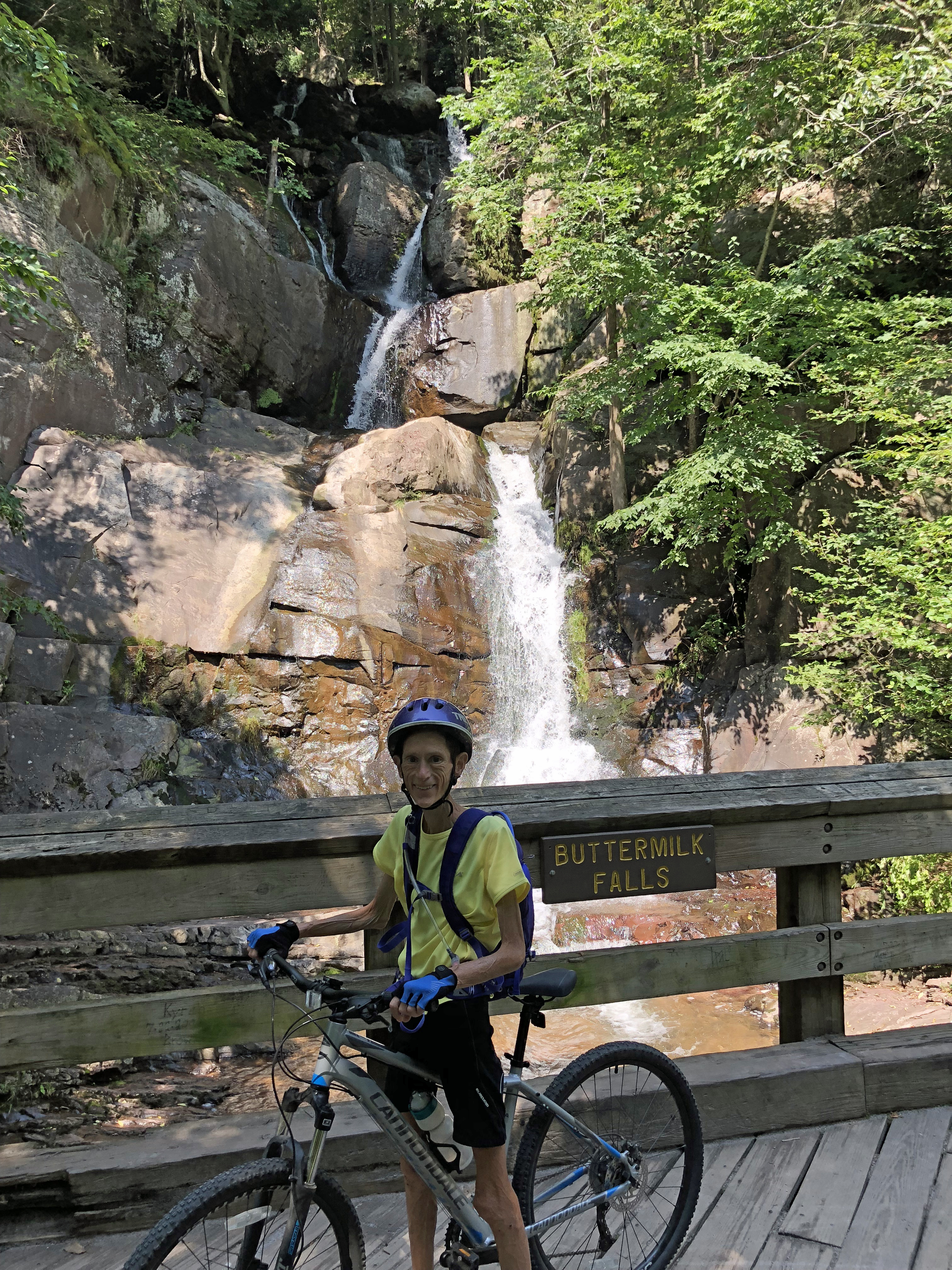
The cool air pockets
surrounding the waterfalls along the Lehigh Gorge section between Penn Haven
and White Haven were quite refreshing!

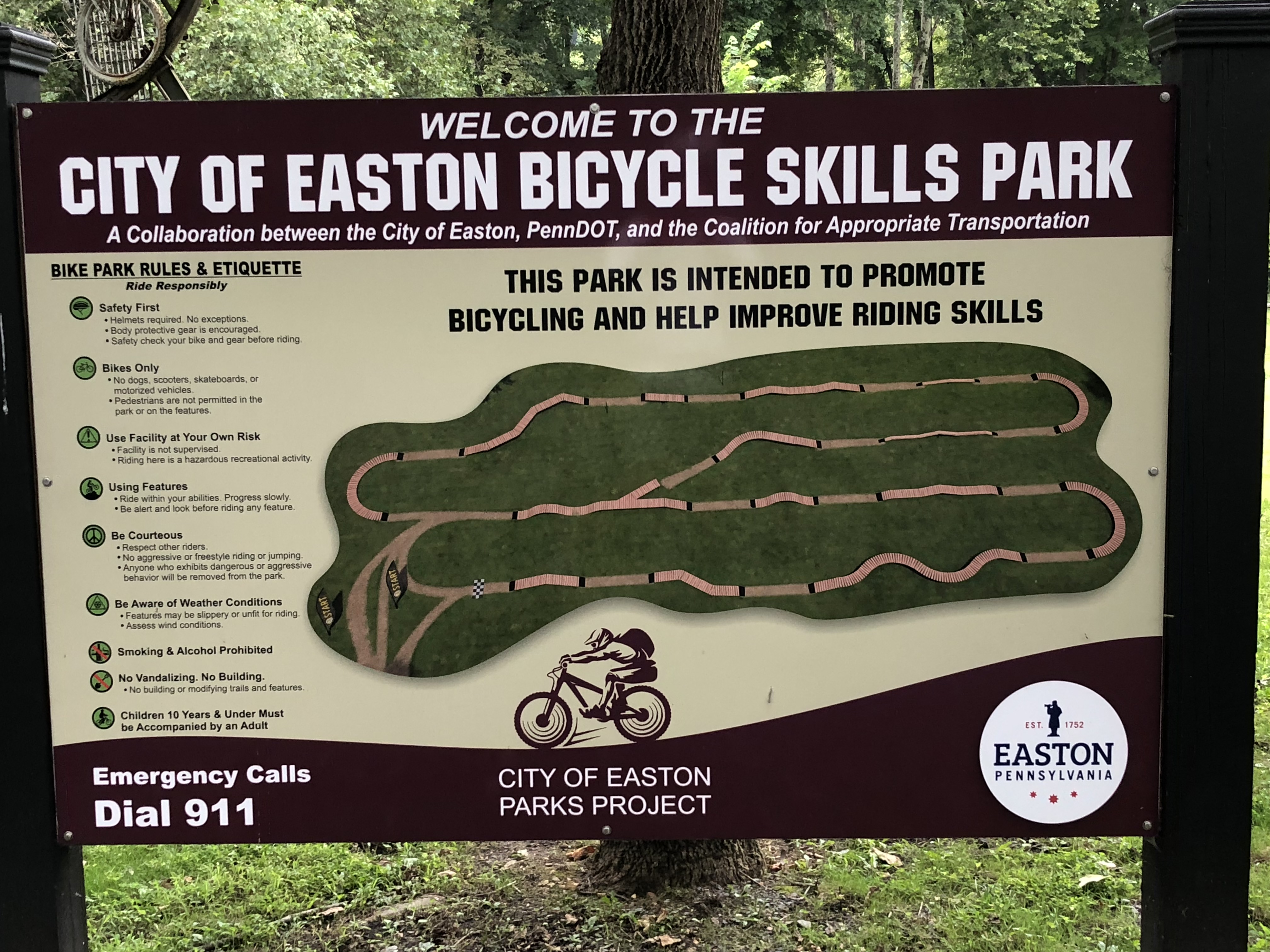
The Lehigh Canal South segment
of the D&L follows the Lehigh Canal as it meanders west for 13 miles from
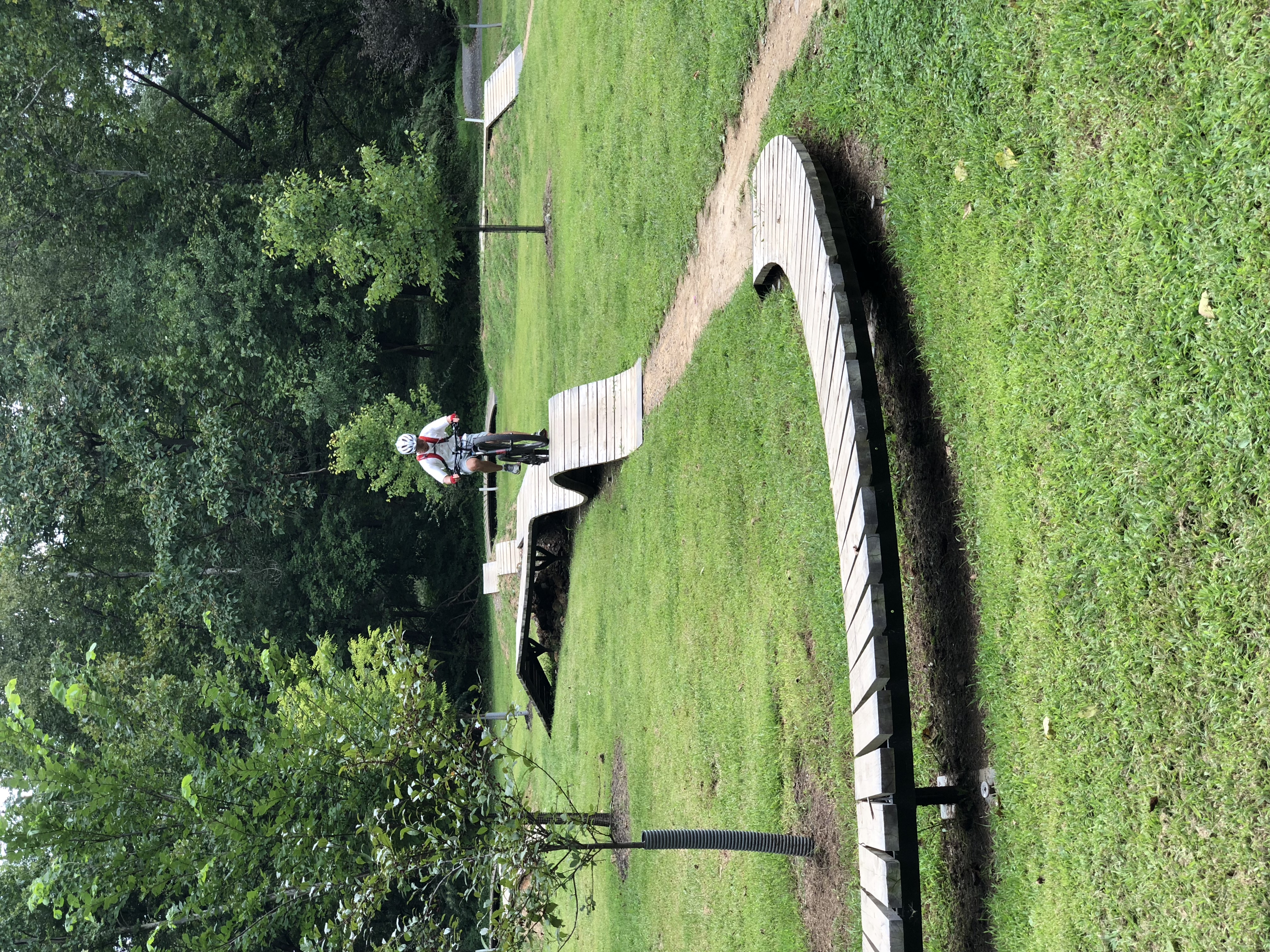
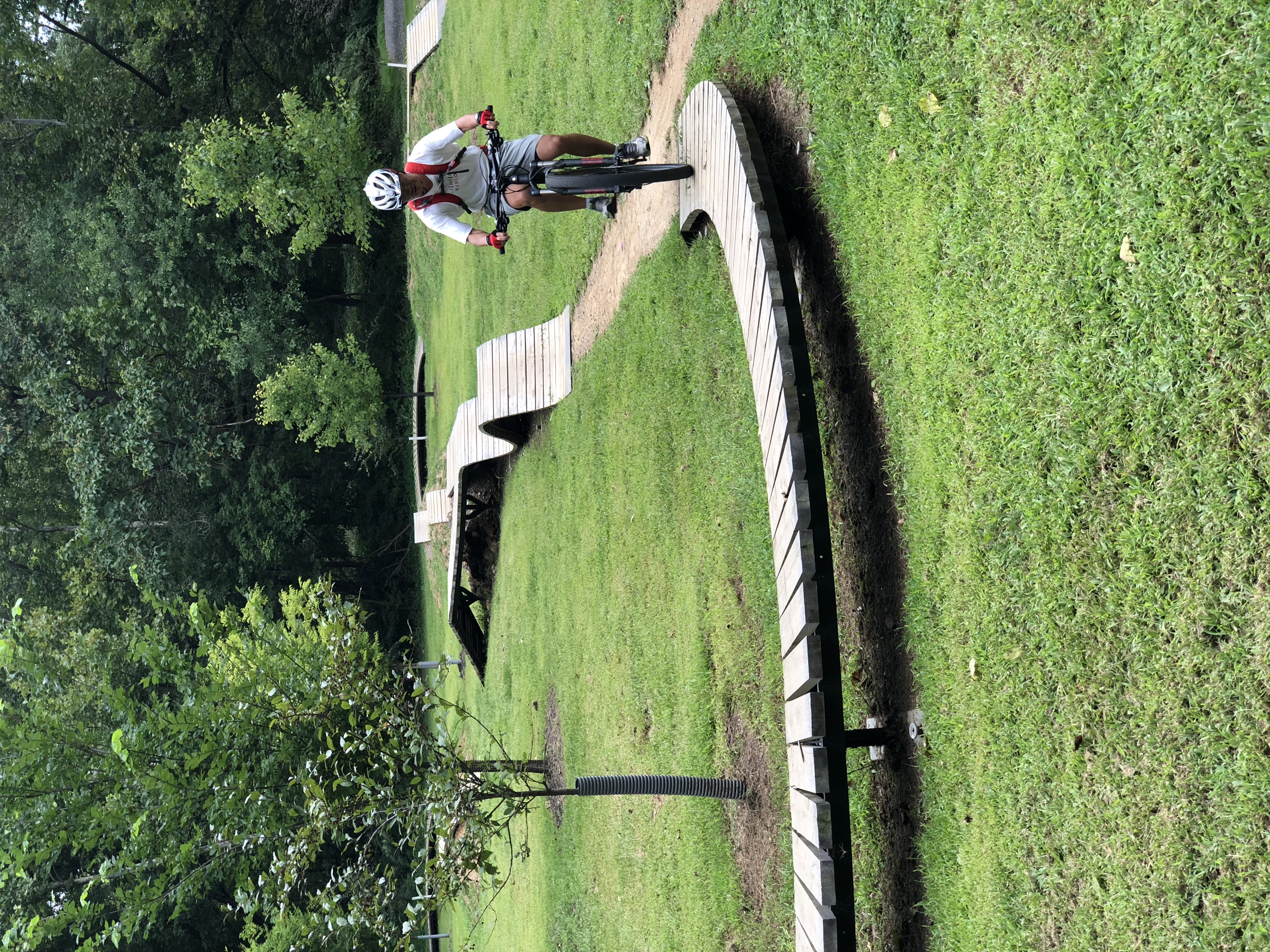
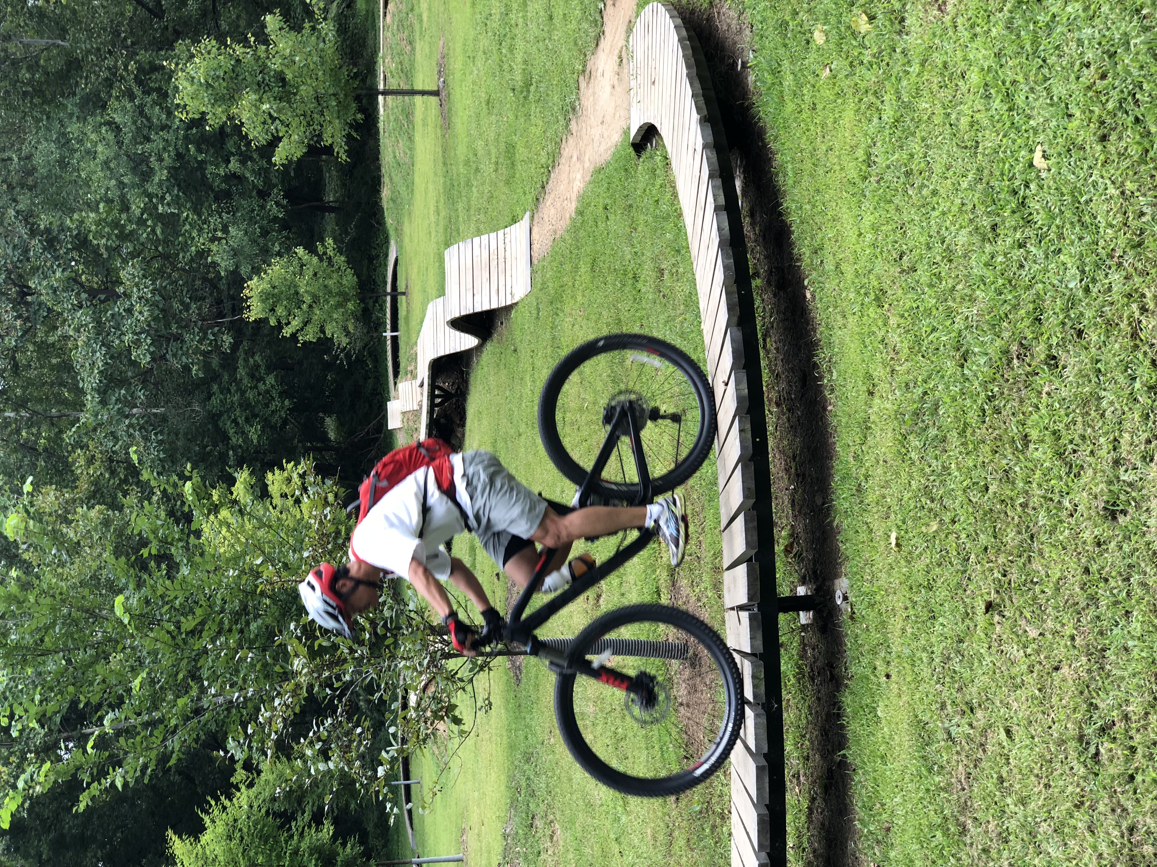
Easton to Allentown. Li couldn’t resist testing out his mettle at the mountain
biking skills park in Easton.
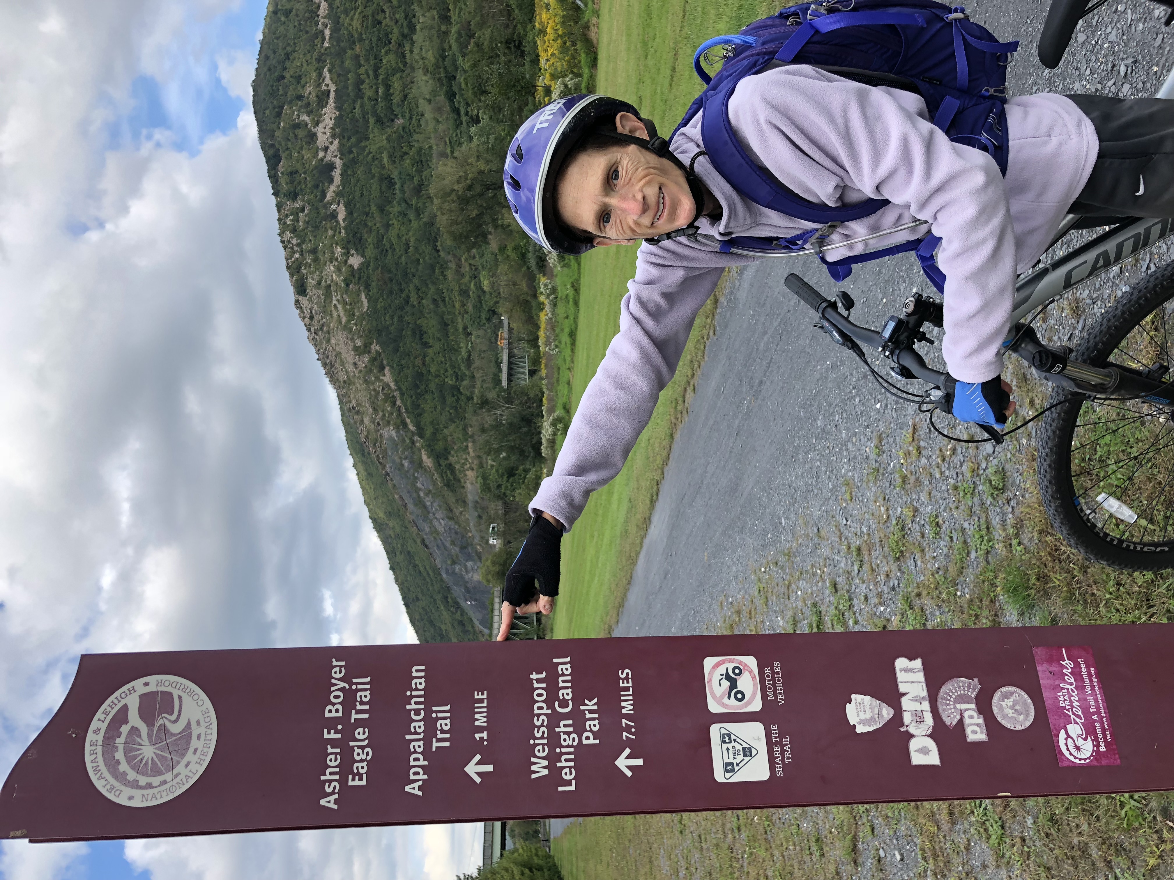
Our ride north along the
D&L from Northampton in September brought back fond memories of Mo’s 1993
Appalachian Trail thru-hike when the bike trail passed under the AT as it
traverses the bridge across the Lehigh River (look in the background of the
photo below).
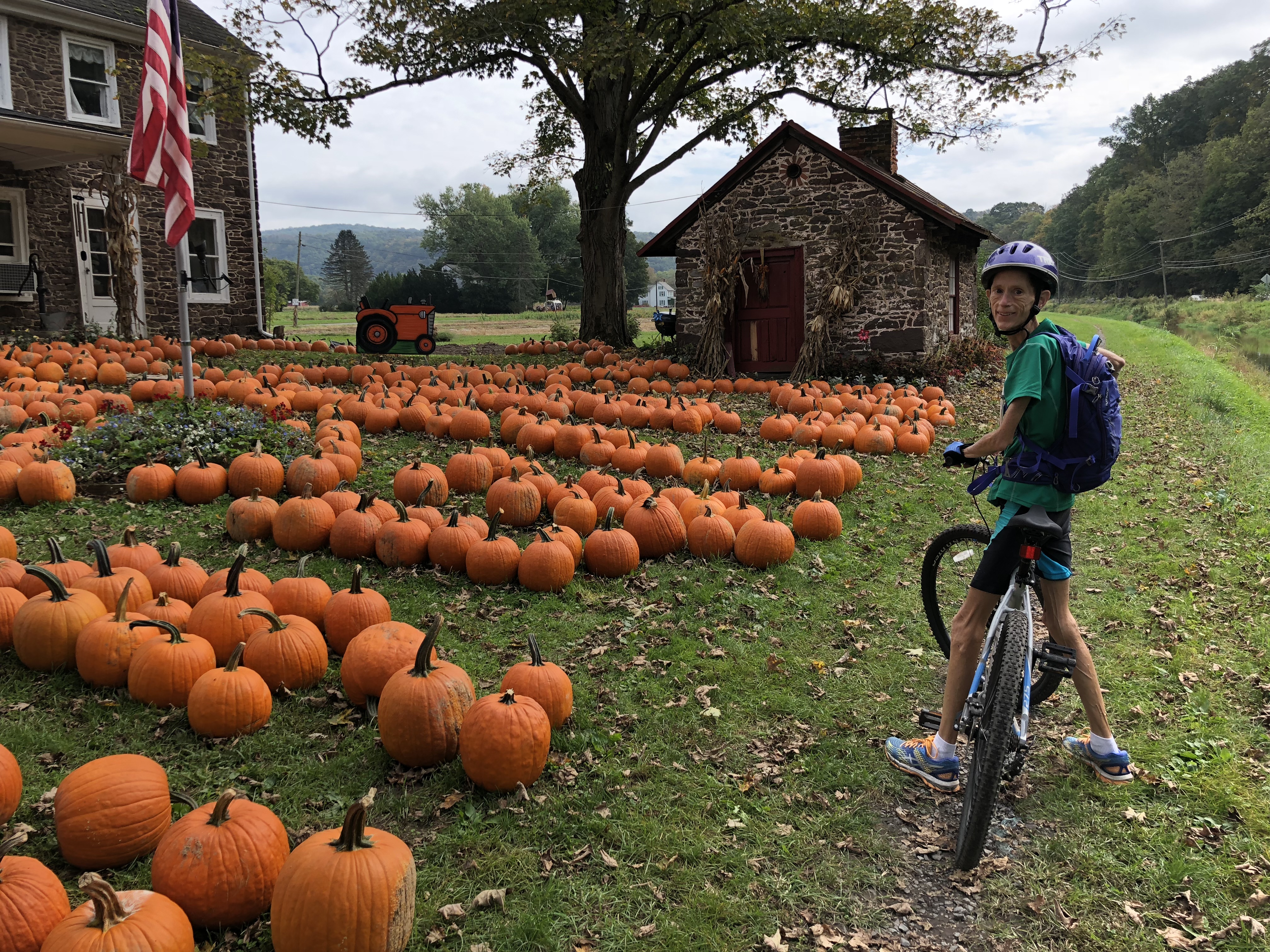
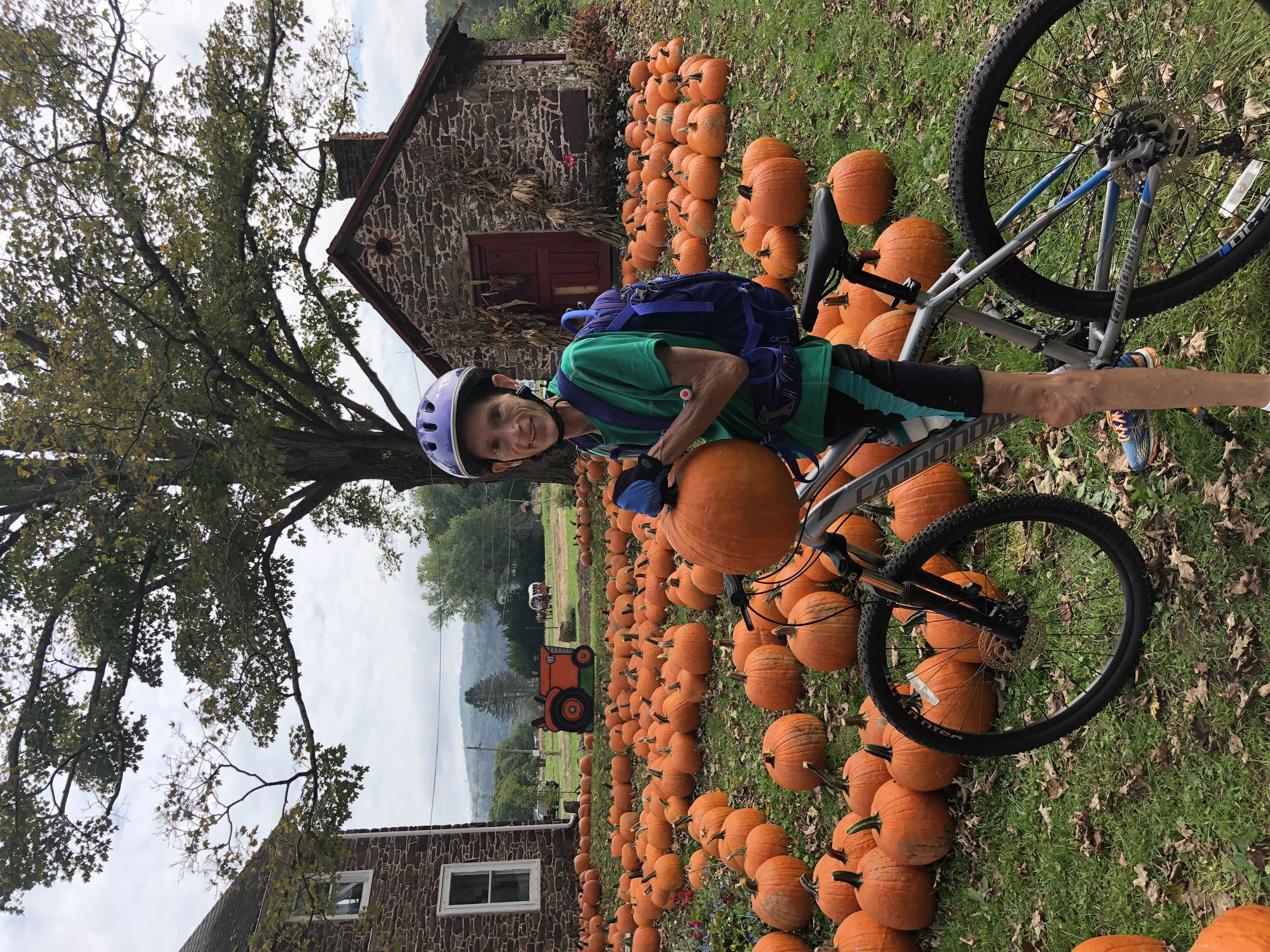
In October the section of the
trail south of Easton passed a farm that screamed FALL! with it’s sea of orange pumpkins and long
rows of colorful fall flowers. Li even managed to capture a horse drawn wagon
in the background of the photo on the right.

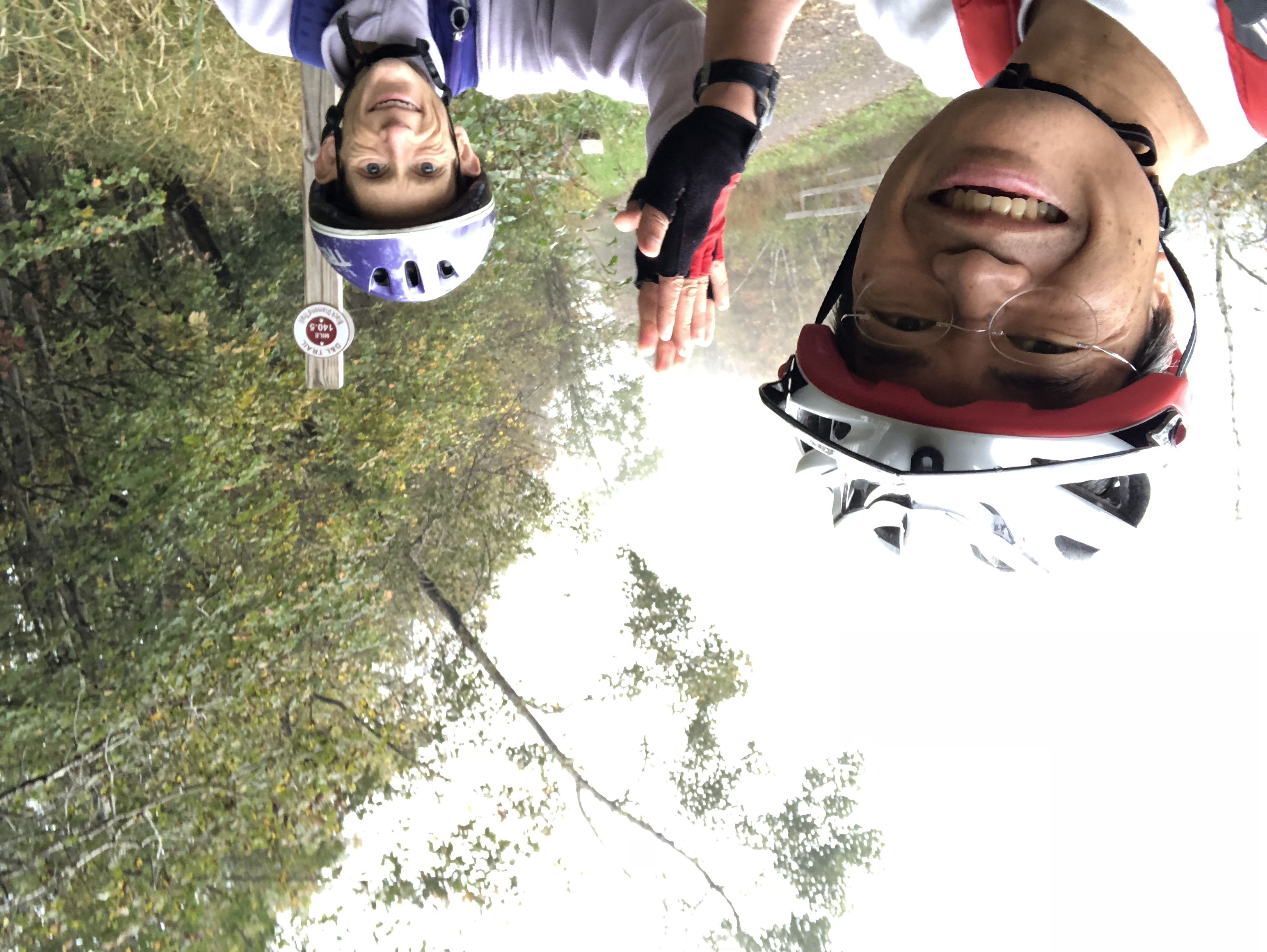
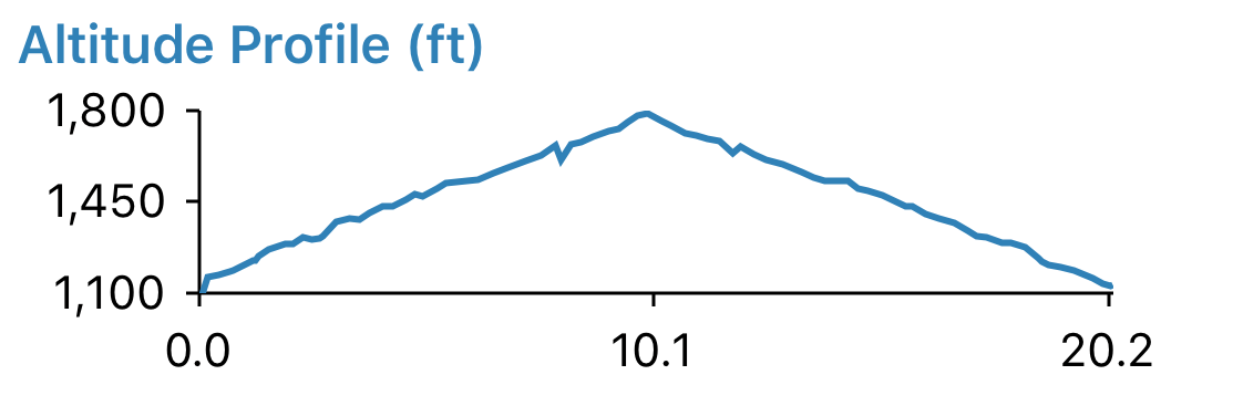
We reached the northern
terminus of the D&L at Mountain Top and celebrated with a high-five at the
last mile post on a cloudy day in October. For some reason this 10 mile section
of the trail seemed very steep (we were at a slow grind going up and flew
coming back down) even though it was just a 1% grade according to the altitude
profile!
![]()